Hal Jespersen's Central Pacific Campaign Tour, February 2024 (Part 3)
This is part 3 of my (Hal’s) report on my tour of Admiral Nimitz's World War II Central Pacific campaign, hosted by the Blue and Gray Education Society. It is a long report with a lot of photos, so I have broken it into three parts:
- Part 1: Hawaii
- Part 2: Guam
- Part 3: Saipan, Tinian, Back to Guam (this page)
Thursday, February 8 — to Saipan
We arose pretty early for an 8 AM flight to Saipan. The airport has a nice United Club with a breakfast buffet and we all weaseled in. Everyone working at the airport was super friendly. The flight was only 23 minutes in the air. Len was able to get a van from Hertz that the military didn’t snap up, although it wasn’t a snazzy high roof version. We crammed in all our luggage and proceeded to the Surfrider Resort in the southwestern corner of the island, the town of Chalan Kanoa, with a nice beach right on the Philippine Sea. You can clearly see Tinian Island about 3 miles south. The Beach Road approach showed tourist infrastructure that had been hit hard by Typhoon “Yutu” in 2018 and has not been cleaned up fully. The damaged roads are being repaved, but are currently uncomfortably rough. All in all, the built-up areas of the island are pretty shabby.
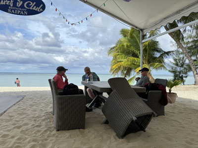
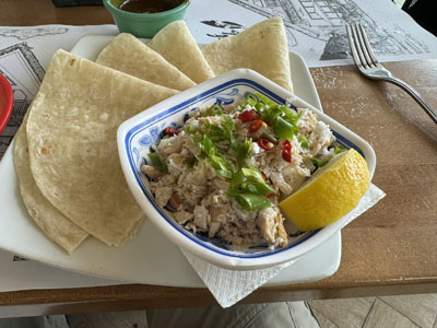
We couldn’t check in this early, so we sat in the hotel’s outdoor restaurant on the beach and Len talked about the early days of the war, Marshall’s promotion of wiz kid officers, controversies between Nimitz and MacArthur, development and deployment of the B-29 bomber, and the planning for Operation Forager (the Marianas Campaign). That operation was initially scheduled for December 1944, but after the Navy showed success at invasions such as Kwajalein and Eniwetok, the date was accelerated to mid-June. We moved into the Surf Club restaurant for a hosted brunch. I had two local dishes: fresh lumpia (which is exactly like a Thai spring roll) and chicken Kelaguen (which is similar to ceviche—cooked chicken morsels with a pickling marinade of lemon juice, fresh coconut, green onions, salt, and spicy Tinian peppers, served with tortillas). Both were excellent. As was the pineapple lemonade lightly infused with ginger.
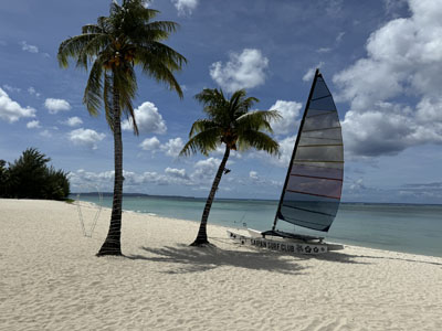
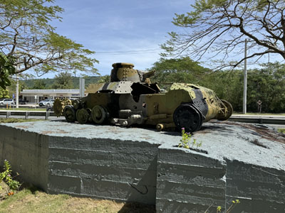
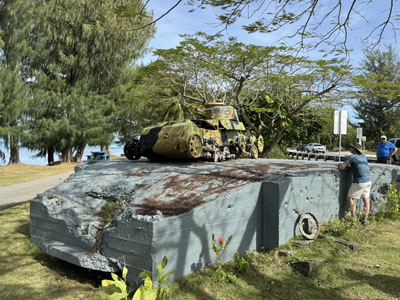
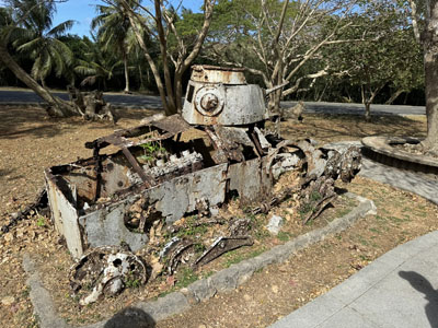
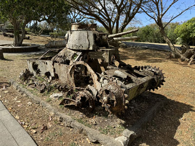
We started a bit north of the hotel to visit the first of two landing beaches used on June 15, 1944. This one was Red 1, the northern end of the 2nd Marine Division area. Len talked about the mechanics of the landing as well as the rehearsal the Marines conducted in Maui prior to the invasion. He pointed out Mount Tapotchau directly behind us, tallest on the island, where the Japanese had observation posts that directed artillery fire against the beach. The Marines here transferred to landing craft about 6 miles out and the reef was about 800 m from the shore. In the little park that fronted the beach, there was a completely derelict Japanese Type 89A I-Go medium tank carcass on display, representing the counterattack launched the night of December 16. This was the largest tank battle in the Pacific war.
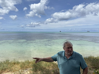
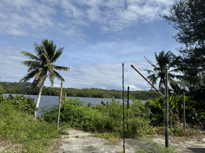
Then we headed south to visit one of the Yellow beaches, the responsibility of the 4th Marine Division (followed by the Army’s 27th Infantry Division). We talked about the problem of an unanticipated lake or swamp directly on the division boundary line between the 2nd and 4th, and how the divisions could not link up for a common forward movement. At that point we drove over to the lake in question, Lake Susupe, which has probably been developed somewhat in the years since because it is a full fledged lake, not a mere swampy area. It turned out that its immediate surroundings are quite sketchy and we did not get out of the van to take a closer look.
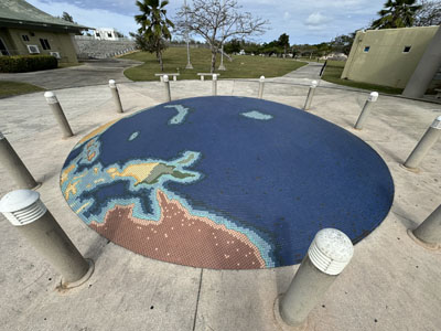
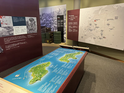
We drove to the capital city, Garapan, and visited the American Memorial Hall, which is a National Park Service visitor center and museum for American Memorial Park. There was a good film about the battle of Saipan and the museum exhibits covered both Saipan and Tinian. It is interesting to contrast this with the museums in Guam. All of the signs were bilingual in English and Japanese. They also mentioned the Carolinians alongside the Chamorros, and this is the first time I had heard of this ethnic group. We did a bit of driving around Garapan to see if there might be some restaurant opportunities, but the tourist infrastructure there is pretty depleted. (During our entire time on Saipan, I rarely saw a restaurant that I would go into based on its external appearance.)
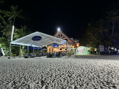
We checked into the hotel, which is like an old-fashioned California beach hotel and the outside facing rooms we were assigned front the main Beach Road and mine is pretty noisy. Also, we have to use bottled water because the sink water is not potable. The only saving grace is that the adjacent restaurant is pretty good. We ate there again this evening and everyone was happy with their meals. I had a cheeseburger that was topped with pineapple rings and Spam!
Friday, February 9 — Saipan
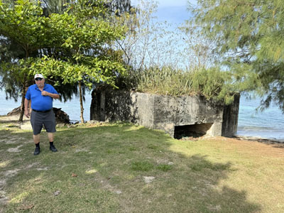
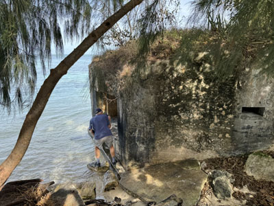
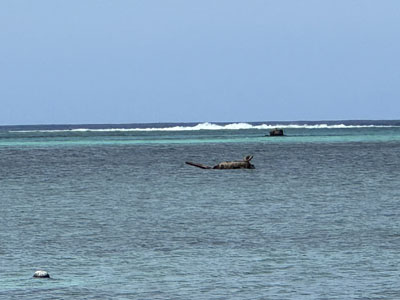
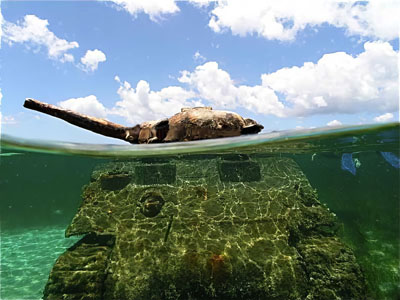
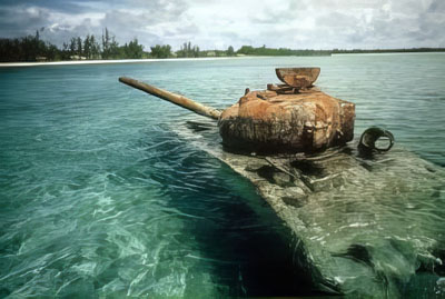
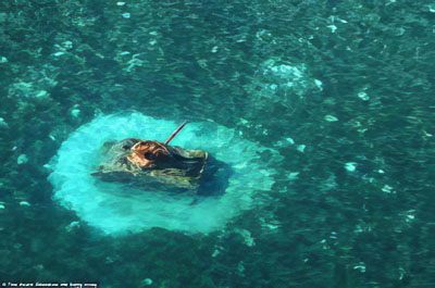
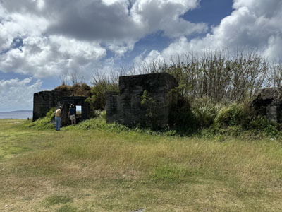
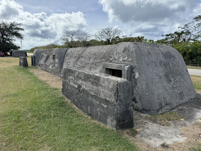
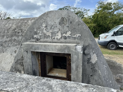
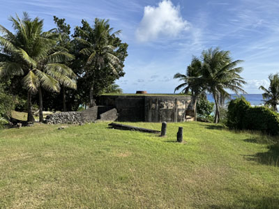
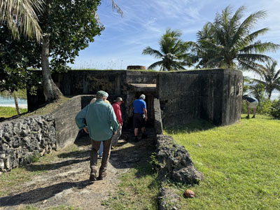
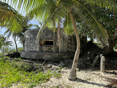
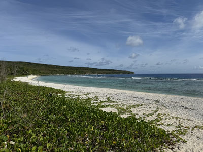
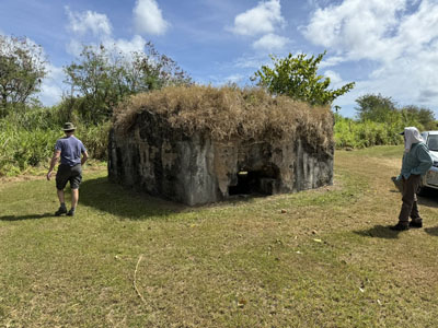
We started at 9 AM at Susupe Beach Park, which is located at Afetna Point, the dividing line between the two Marine divisions’ landing beaches. This was the Green 3 invasion beach. We examined a Japanese bunker and observed a sunken Sherman tank a couple of hundred yards out in the water. We discussed the tank battle on the night of June 16, the largest tank battle in the Pacific, in which about 40 Japanese Type 95 and 97 tanks attacked the beachhead, losing about 3/4 of them to fire from Marine Shermans, M3 Gun Motor Carriages (half-tracks with 75mm guns), bazookas, 37 mm anti-tank guns, etc. We had an early lunch at the sandwich shop next to our hotel and then headed south to Agingan Point where we visited a Japanese bunker that was in very good shape. It was on the grounds of a water treatment plant and Len had to get special permission to allow us entry.

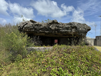
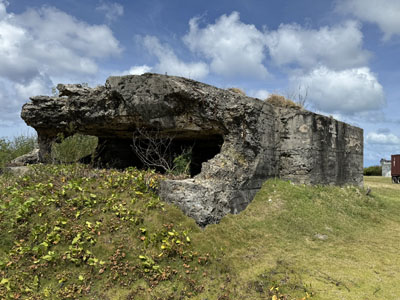
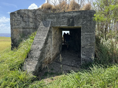
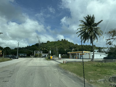
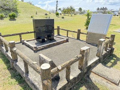
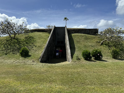
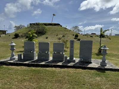
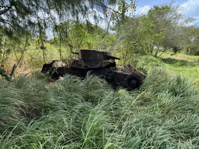
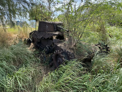
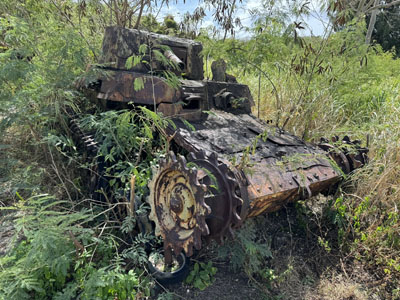
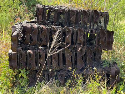
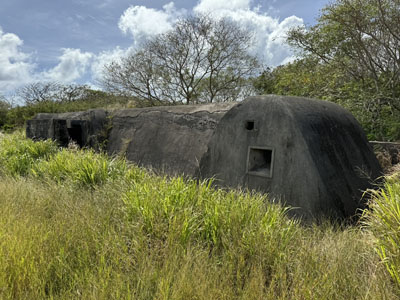
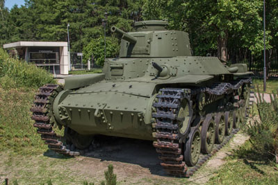
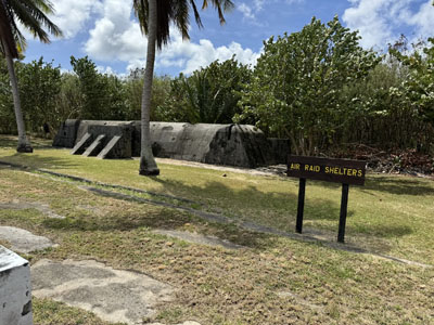
We drove to a plateau somewhat west of Lake Susupe, where the Japanese had a number of artillery pieces that were homed in on the beaches. We had a good view of Mount Tapotchao, where artillery spotters called in fire, and the adjacent Mount Tipo Pale. Then to As Lito airfield, the current international airport. We observed two Japanese runways, one of which overlapped the current runway. We saw memorials to the 27th Infantry Division, the 73rd Bombardment Wing, and Japanese soldiers. There are lots of remnants of Japanese concrete buildings, bunkers, and air raid shelters scattered around. The air raid shelters in particular were interesting—very long and sleekly constructed from heavy concrete. Visiting a densely forested area we saw a number of Japanese tank carcasses, mostly Type 97 mediums, all without tracks, which were stacked up in a pile behind them for some reason. One advantage of examining tanks completely busted up like this is that you can see how pitifully thin the armor was. I’m not sure this could even withstand an M2 Browning.

We never saw an intact Type 97 medium tank in the field, so here is a photo I cleaned up from Wikipedia (Museum of the Great Patriotic War in Russia):
We headed in the direction of the extreme southeast point of the island, Nafton Point. The gravel roads in this area are in terrible shape. If they decided to hold an international conference on potholes, this would be the place to host it. Some sections of road practically knocked the fillings from your teeth. We walked through a dense jungle area and Len impressed upon us the burdens on the soldiers who had to survive fighting in this hellscape. This was the area in which Smith’s 27th Infantry Division had to operate, and the understandable delays associated with their advance caused him to be relieved by Marine general Holland “Howlin’ Mad” Smith. We headed to Obyan Beach, where we got a great view of the actual Naftan Point in the distance, beyond an immaculate beach, and visited a large Japanese blockhouse overlooking the beach. By this time we were all pretty tired out, after a hot day, lots of jostling around potholes, and jumping on and off the van. We returned to the hotel and I had a quiet sandwich dinner in my room, followed by a quick visit with the guys at the restaurant. At about 10 PM I was startled from my sleep by an enormous sustained bombardment of fireworks right outside my room. I learned the next morning that it was Chinese New Year.
Saturday, February 10 — Saipan
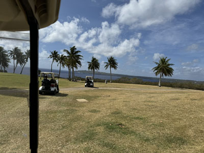
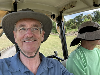
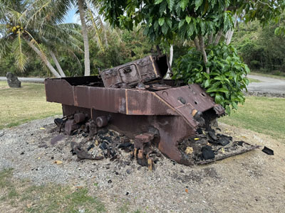
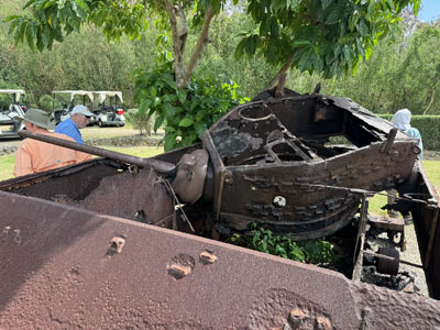
We drove to the airport where we got another view of Mt Tapotchao and Len talked about the effective Japanese defenses on the high ground. After clearing the beaches, the Marines and Army took almost two weeks of hard fighting before they could swing around to the left and capture that ground. We headed toward Kagman Peninsula, the area assigned to the fourth Marine division. We took a road that dipped down toward and next to LauLau Beach, and it was an extremely rough dirt trail, but we eventually got through and reached the LaoLao Golf Resort, which looks like a nice hotel and course. Len sweet talked the local pro shop guy into escorting us out to hole 5, leading a caravan of us driving four golf carts, the first time a BGES tour ever used such vehicles. At hole 5 we found the carcass of an M5A1 Stuart light tank, supposedly the only M5 tank on Saipan still in the position where it was taken out.

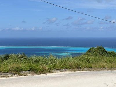
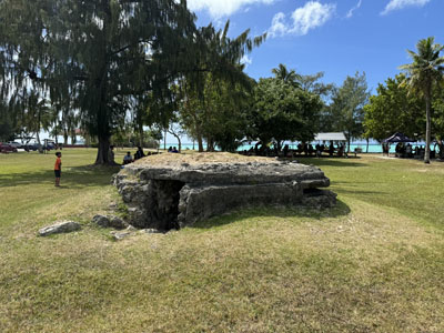
We drove over Purple Heart Ridge, across Death Valley, to the summit of Mount Tapotchao, 1555 feet high, and enjoyed some fabulous views of the entire island and Tinian. Then back down toward Garapan, where we lunched at the Thai Spicy Noodle Place, which was very good. At the portion of American Memorial Park next to the beach, Mutcha Point, we talked about the fighting in Garapan and visited a Japanese pillbox in excellent condition. Garapan was completely destroyed in the battle and bombardments and was bulldozed away, reemerging as a city only in the 60s.
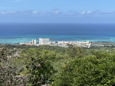
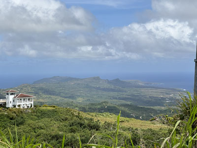

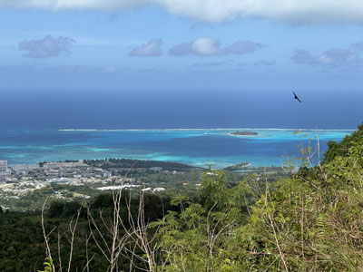
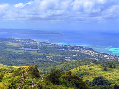


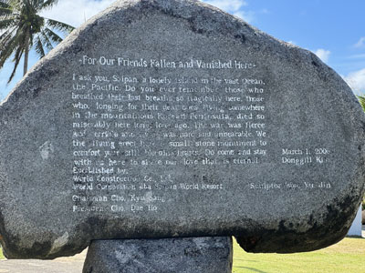
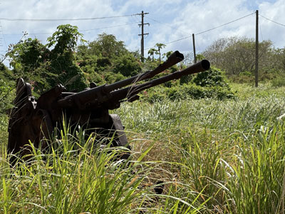
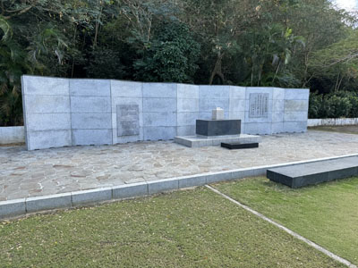
Driving north, at PauPau Beach Len pointed out the staging area for the final great Japanese Banzai charge on July 7, the largest such in the war. 4300 Japanese soldiers, wounded men, and some civilians attempted to overwhelm two battalions of the Army’s 105th Infantry Regiment in a frantic pre-dawn charge. The Army suffered almost 2000 casualties but killed virtually the entire enemy force. A bit farther north, we visited a few sites right next to each other. The Korean Memorial Monument remembers the thousands of Koreans forced to labor and soldier in Japanese service, as well as their “comfort women.” The Last Command Post, a Japanese CP overrun on July 7, which suffered from a large hole in front that was caused by a battleship shell, and is surrounded by a number of derelict artillery pieces. An Okinawan Memorial. And the Memorial Monument of the War Dead in the Mid Pacific.
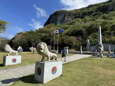
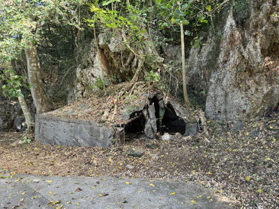
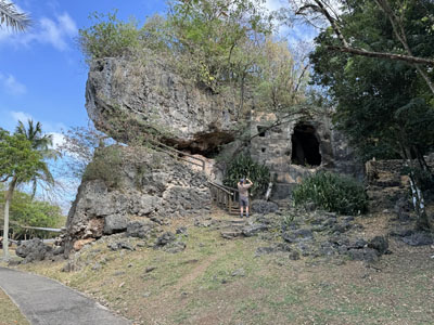
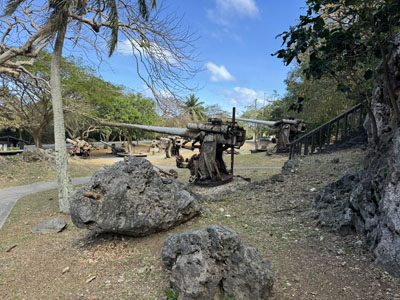
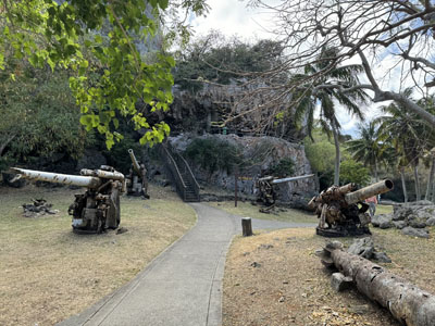
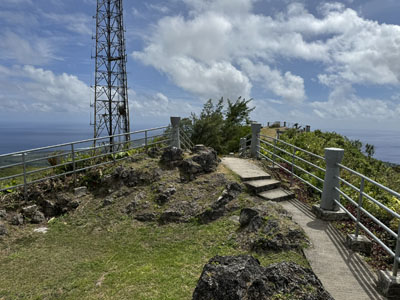
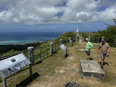
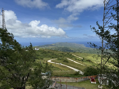
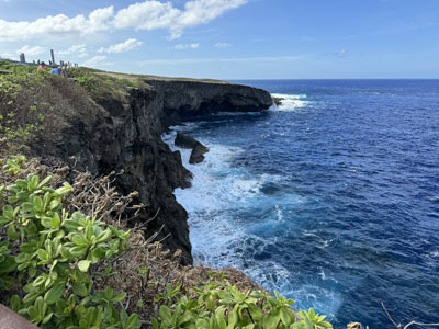
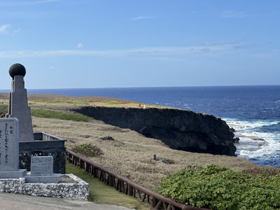
At the northern tip of the island is Marpi Point. First we visited the Banzai Cliffs, where hundreds of Japanese soldiers, civilians, and children threw themselves into the sea to prevent their capture. (Japanese propaganda had convinced them that American soldiers would rape, torture, and eat them if they were captured.) It was interesting to see Asian wedding parties doing photo shoots in this area, which was admittedly beautiful, but rather discordant. Then up the hill to the top of the Suicide Cliffs, where the pattern was the same, but the suicides threw themselves hundreds of feet from the sheer cliff to the rocks below.
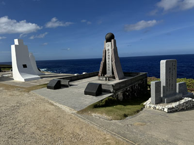
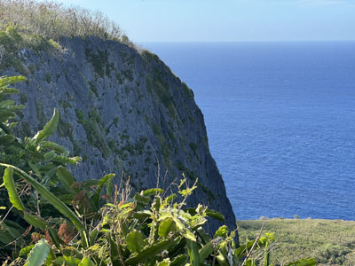
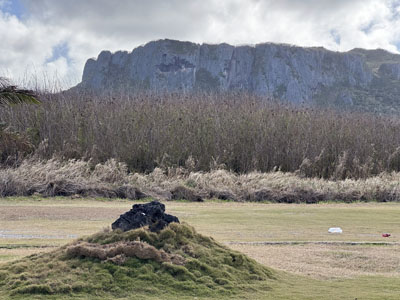
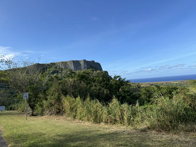

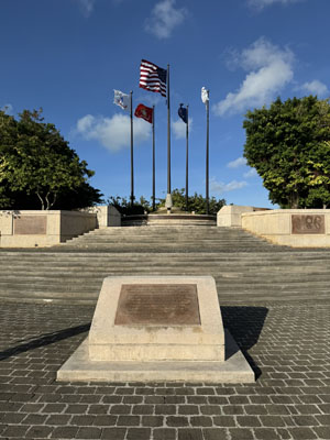
On the way back, we stopped at the American Memorial Park again and visited the monument that has the names of the US soldiers lost in the battle. Dinner was once again at the Surf Club and this time I had Loco Moco, a local dish with rice topped by a hamburger patty, a fried egg, and fried onions, surrounded by delicious gravy.
Sunday, February 11 — Tinian
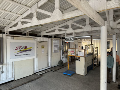
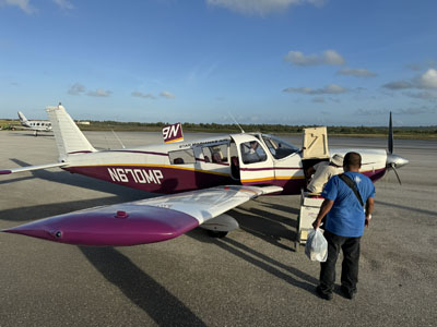
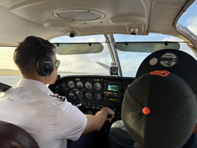
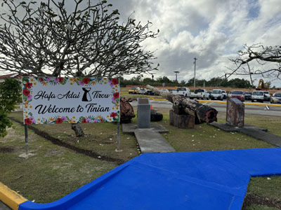
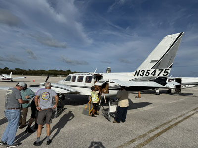
We flew on a tiny commuter airline, Star Marianas Air, from Saipan to Tinian, a 10 minute flight in a Beechcraft six seater. It was refreshing to hear the entire safety announcement in under 10 seconds and the flight was a lot of fun in beautiful clear, calm weather. We rented two cars because there were no vans available. Tinian is a very small island and it is almost entirely covered with either jungle or low dense foliage, depending on how it is categorized. After the battle of Tinian in July 1944, the island was turned into a giant B-29 base, with large areas covered by runways, barracks, and other military facilities, but these have almost all disappeared. The island is very lightly populated and the road network is really poor, as is also they are cellular network. We started in San Jose, which was named Tinian City during the war, visiting Jones Beach, which was where the Japanese expected the US invasion and where their primary defenses were located. Elements of the 2nd Marine Division and some Navy ships feinted an attack in this harbor to provide a deception because the actual landings came elsewhere, as we will see.
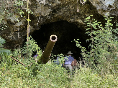
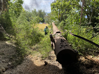
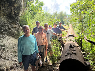
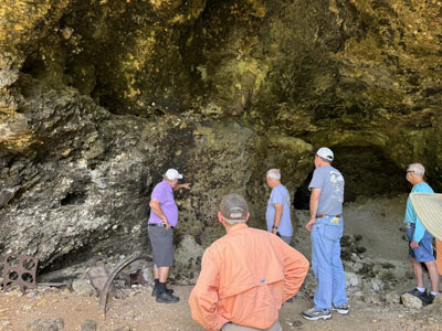
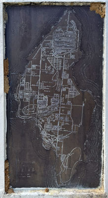
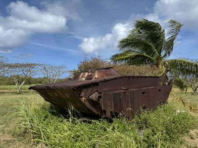
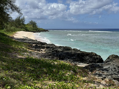
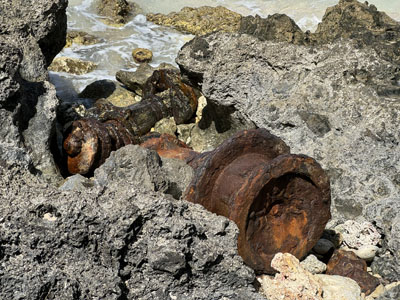
We drove northwest up the coast to Turtle Cove and after a number of wrong turns down challenging dirt roads, we found a Japanese coastal artillery piece embedded in a cliff cave. I measured the muzzle and it appeared to be a 16 cm gun. There was evidence that Marines had used flamethrowers inside the cave because there was petroleum residue on the walls. Back on a normal road, we stopped at the monument for the 107th Seabees, which had a very detailed engraving that showed a map of the island at the height of its B-29 activity. It is remarkable how much of this infrastructure is now returned to nature. Heading near North Field, we encountered a traffic circle, near the assembly area of the 509th Composite Group, with a carcass of an amtrack landing vehicle.
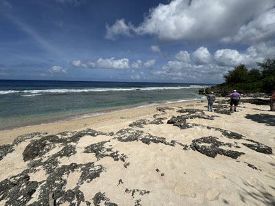
Nearby was Chulu Beach, which was designated White Beach 2. White was the actual invasion landing, fooling the Japanese. It is remarkable how narrow this beach is, surrounded by very severe stone out croppings on adjacent beaches. We tried to find the nearby White Beach 1, which is even smaller, but any road access has disappeared into the jungle. We gave it a good try though, even traipsing to a narrow beach nearby that was not White Beach 1.
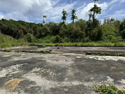
Back to the assembly area of the 509th Composite Group, we found that it was simply a building foundation without any interpretation. The 509th was the secretive group led by Colonel Paul Tibbetts for delivering the atomic bombs to Japan. We went to a large site in which there were two pits dug into the ground and lined with concrete. The first was where the Fat Man plutonium bomb was loaded into its B-29 (Bockscar), the second the Little Boy uranium bomb (Enola Gay). Both pits were protected by triangular glass structures, which included photographs inside of the bombs being loaded. We saw a monument that indicated this entire area was designated the North Field Historical District. It includes the area the Japanese called Ushi Field, with a large concrete administration building and some of their unique air raid shelters.
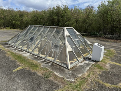
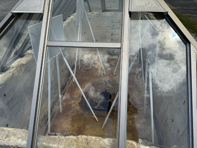
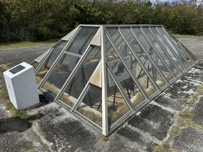
We drove down the US runway designated Able, which is overgrown with grass in places and has maintenance issues. Len decided to drive our car at 50 miles an hour to give us a taste of what the pilot would have seen barreling down the runway. The adjacent runway, Baker, is in much better shape and is currently in use. We saw some C-130 cargo planes flying in and out. Charlie and Delta are almost invisible. We ran into a platoon or so of Australian soldiers who were in the area for the Cope North military exercise and chatted with them for a while, but when we accidentally attempted to get onto Baker, some of their colleagues approached us with automatic weapons and shooed us away.

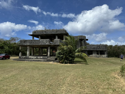

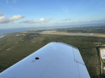
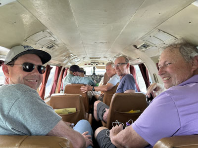
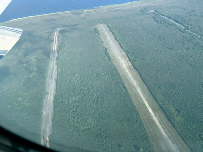
Back down at the southern end of the island, we looked for lunch opportunities, but apparently the island mostly shuts down on Sundays, so the only place we could find that was open was a takeout pizzeria. After a lengthy preparation time we took our pies and went to the beach for a picnic. I got to visit a grocery store to find a jar of famous Tinian hot red peppers to take home. By the time all of this was finished, we were running behind schedule, so we skipped a couple of items, such as the Tinian version of the Suicide Cliffs, and proceeded to the airport. Our flight back to Saipan was on a Piper Navajo, a comfortable 10 seater, and I got some aerial pictures of the runways we had just driven around. We toured around Saipan’s Kobler airfield for some reason. Then for the fourth day in a row, we had dinner at the Surf Club restaurant, and retired to prepare for our trip to the airport tomorrow morning.
Monday, February 12 — Guam
Our day started with a sad announcement that one of our stalwart group had tested positive for Covid. After discussing options, he decided to change his flights back to the states to today—skipping a couple of days in Guam and four days in the Philippines—relying on his travel insurance to satisfy the change fees. We all had a midmorning flight from Saipan to Guam on United Airlines and he left Guam a few hours later.
The focus of our second trip to Guam is now on the US invasion and liberation of the island in 1944, but we got off to a slow start. When we arrived at the hotel our rooms would not be available until 2 PM and everyone (except me) was excited to watch the Super Bowl at a sports bar, so we gathered at 2 PM and made the decision to just hang out for the rest of the day, getting a fresh start on touring tomorrow morning.
Unfortunately, the same sickness that struck our friend got me as well, with a runny nose, scratchy throat, and a fever. I will isolate myself from dinner tonight and see if the other members of the group will allow me to attend tomorrow’s driving if I wear a mask. If not, I will need to stay in the hotel room. I called United Airlines and they were able to transfer my return flights one day earlier without any charge; if I had asked for tomorrow instead of Wednesday, I think it would’ve been an expensive change.
Tuesday, February 13 — Sick in Guam
I awoke feeling sicker than I was the day before, so I decided to stay in the hotel room for the day. Coughing and nose-running in a mask all day with a mild fever would have been very uncomfortable and I did not want to to increase the risk to any of the other guys beyond the exposure they had had already. So here is what the BGES website said about our planned agenda for Tuesday and Thursday:
The second landing on Guam was conducted by the 1st Marines and portions of the 77th Statue of Liberty Division at Agat some seven miles south of the Asan Beach landing. The landing zone was south of Orote Point, which the Japanese had fortified and which had been a land base along with the island of Rota for Japanese fighter support defending the islands. The airfield was considered essential for the support of operations up the island and like Aslito on Saipan the airfield had to be seized. The two American landings were independent with Orote obscuring the view of each other. Guam had suffered the most intense surface to shore bombardment of any landing primarily because the Battle of the Philippine Sea disrupted the naval support for the Guam operation. Once ashore, the two American landing forces would link at the base of Orote Peninsula before driving up and into the Peninsula. We will return to Orote and the naval base to discuss that fighting and the capture of the airfield. Once again, we have sleuthed out the original World War two runway— enhanced by the Navy Seabees. You will get to visit the Working Dog Cemetery— on Guam dogs played a critical role in bringing Japanese soldiers out of the manmade caves they had constructed on the island.
Following lunch, we will move north through what has now become a highly developed and population dense center of the island towards Mt. Santa Rosa—site of the Japanese last stand on Guam. Many treasures of the war are still extant. We will see where the Japanese Guamanian commander committed suicide and consider the singular story and legend and legacy of Navy Seaman George Tweed.
Our last day starts with a trip to Andersen Air Base and the Northwest Field. These two airfields carved out of the jungle accommodated General Curtis Lemay’s Command of the 20th Air Force. It is from Northwest Field that the last B-29 missions of World War Two were flown. A trip down to Tarague Beach will show the extreme terrain that composed the northern end of the island.
Having completed the World War Two combat operations we will have lunch and then review and visit Guam as the Supply Depot of the Pacific, Nimitz’s forward base for overseeing the conclusion of WWII and its readaptation to life under American governance post war. We will talk about Guam’s emerging importance, its role in the Vietnam War, the evacuation of refugees from Vietnam and its increasing military importance in the history of our operations in the Indian Ocean.
Wednesday, February 14 — Flying Home
My original itinerary for flying home on Thursday was to fly to Narita in Japan, wait seven hours, and then fly overnight to San Francisco. My new flight is Guam to Honolulu, a four hour layover, and then overnight to San Francisco. The International Dateline plays the trick of landing earlier in the morning of the same day I took off: depart Wednesday at 0735, arrive Wednesday—Valentine's Day!—at 0636.
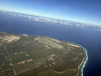
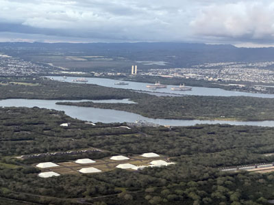
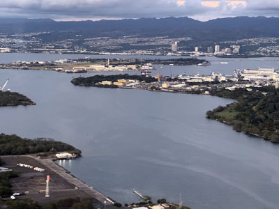
I noticed a couple of interesting things at the Guam airport (GUM). The United Club in addition to a very light breakfast was serving custom-made s’mores! Too bad they weren’t cooked. And, the pre-boarding option for active-duty military, which usually garners a couple of takers in CONUS airports, had a line of over fifty! Thanks for your service, guys and gals. (And the very overweight middle-aged guy with long hair.) The flight from GUM flew directly over Andersen Air Force Base in Guam and Pearl Harbor in Oahu.
In summary, with the exception of missing the last two days with illness, I had a great time with BGES on the battlefields of WWII, I learned quite a lot, and would travel with them again if they offered something similar.