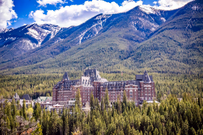
Hal Jespersen's Northern Rockies Trip, August–September 2024
This is my (Hal’s) report of Hal and Nancy’s trip to the northern Rocky Mountains, in the US and Canada. We took a tour sponsored by Smithsonian Journeys, followed by a train ride from Banff to Vancouver on the Rocky Mountaineer service. This is our second tour with Smithsonian, the first being to New Zealand, described here.
Because this a long report with many photos, it is broken into two parts:
- Part 1 (this page) — Calgary, Waterton, Glacier National Park, Whitefish, Emerald Lake, Lake Louise
- Part 2 — Banff, Columbia Icefield, Post-tour (Rocky Mountaineer train to Vancouver)
Saturday, August 24 — to Calgary
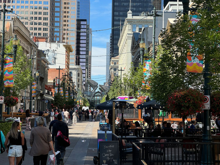
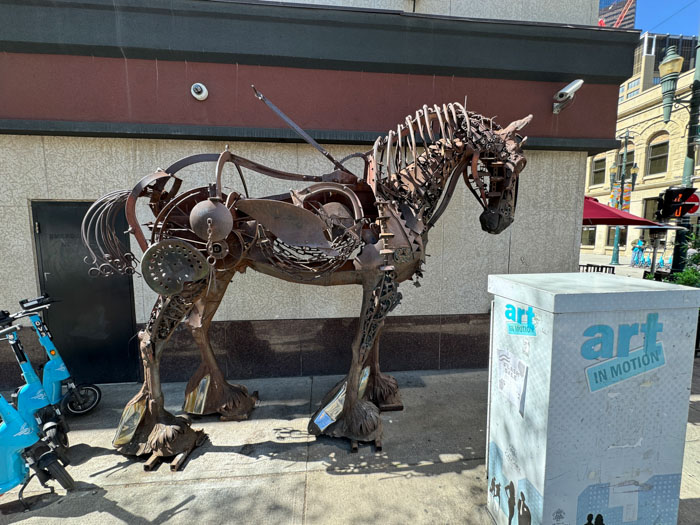
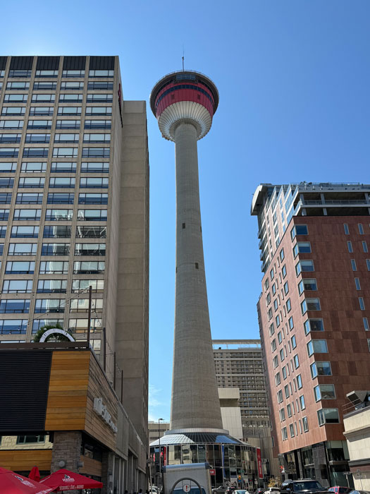
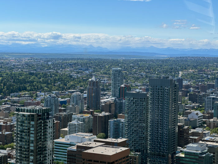
We flew on WestJet airlines direct to Calgary, BC (YYC) and Ubered to our hotel, the Hyatt downtown. To our gratification, our room was available before noon. We walked down Stephen Avenue, a pedestrian street lined with shops and a lot of bars and sidewalk cafes, and had a nice brunch outside. Then we ascended 626 feet to the top of the Calgary Tower for sightseeing. This was once the highest structure in town, but it is now closely surrounded by at least eight taller buildings. (It was built in 1967 as the Husky Tower for a cost of CA$3.5M, which is cheaper than a number of houses in our California neighborhood, inflation non-adjusted, of course.) Nevertheless it was a nice view on a beautiful day and there are ample signs identifying all the visible landmarks. We could dimly see the Rockies to the west, our target for the week. We also saw the site of the Calgary Stampede, where a million visitors gather each July.

Our group met at 6:30 for intros and orientation. There are 18 guests, our tour director Darcie Reynolds, and our Smithsonian expert, geologist Allen Glazner, professor emeritus at UNC Chapel Hill. (Darcie’s role was not only the traditional tour director who handles logistics; she gave us numerous talks along the way about historical, environmental, and cultural topics.) Many of the guests are retired and are from the East Coast, but two are English. We had a nice dinner in the hotel restaurant.
Sunday, August 25 — Waterton Park, Alberta, and St. Mary, Montana
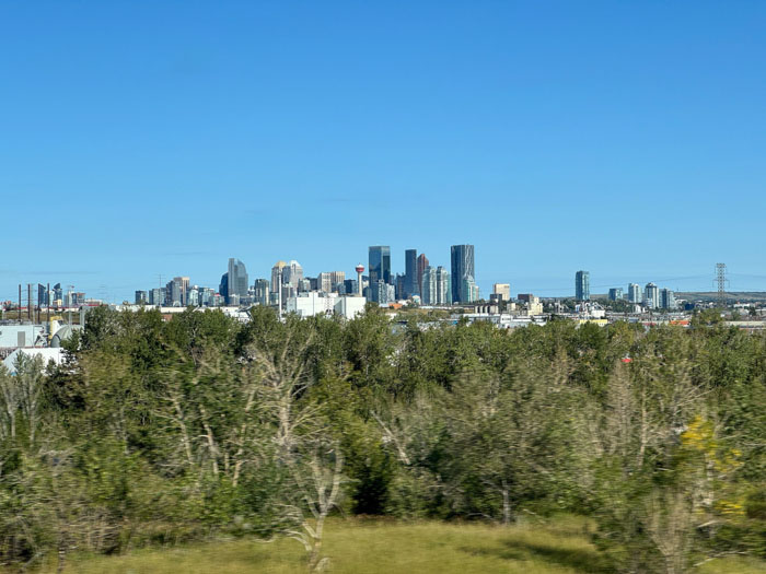
After breakfast we had an 8 a.m. lecture by Allen called “Scenery, geology, mountains, and glaciers.” He introduced plate tectonics, the internal structure of the earth, three types of rocks, geological eras, and glaciers. We boarded a 56-passenger bus and drove 1.5 hours while Darcie narrated Calgary sites, Canada history, and some culture and economic info.
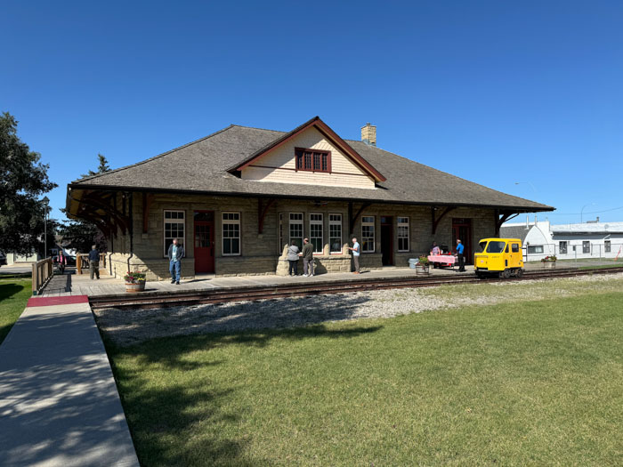
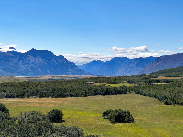
In the town of Claresholm we had a rest stop and visited a small museum that had early 20th century artifacts from the town, displays about their small WWII flight training base, and antique vehicles and farm equipment. Coffee and cookies were offered. Back on the bus, Allen showed a few slides on glacial landforms. We stopped at an overlook that showed beautiful mountains behind green pastures. This whole region had been obliterated by a 2018 fire, but nature was well on the way to recovery.
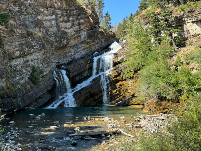
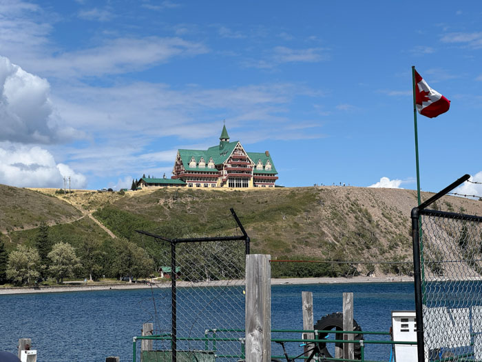
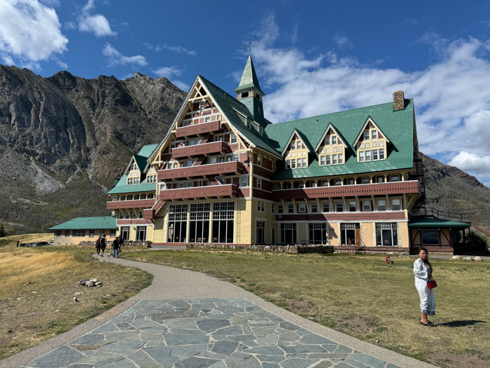
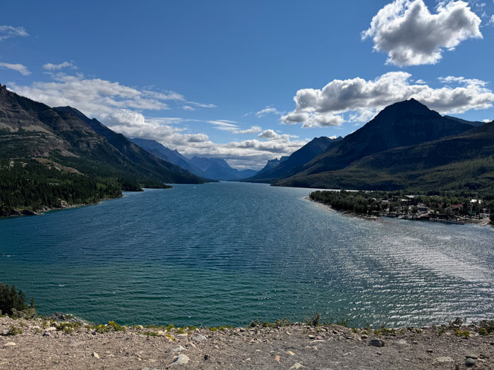
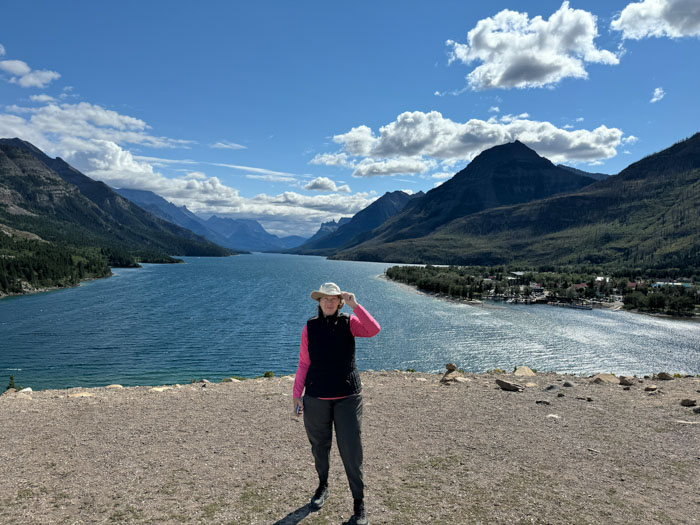
In the town of Waterton, the center of Waterton National Park, we saw how all the burned buildings had been replaced and had a modest buffet lunch at a riverside restaurant. At the interesting Cameron Falls, we discussed sedimentary formations. At a dock on the lake we viewed the historic Prince of Wales hotel up on a glacial moraine, so we had a discussion of terminal moraine and finger lake formation. Then we drove up that moraine for a great view of the lake, which is bisected by the US border (49° N). It was exceptionally windy up there and I was grateful for my hat’s chin strap.
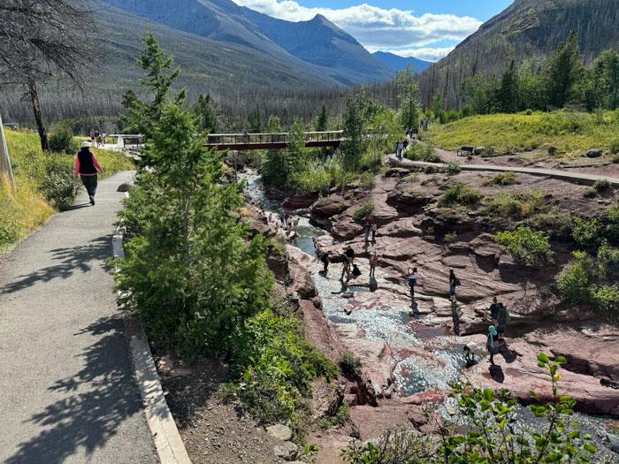
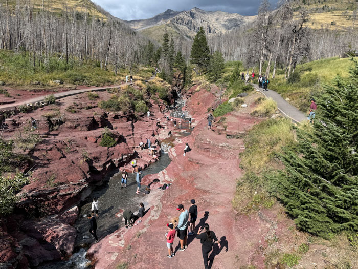
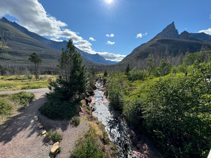
At Red Rock Canyon we saw a pretty stream deep in the rocks. Allen pointed out an interesting sill of dark basalt in the tall horn that dominates this area. On the way back we came upon a black bear and her cub right next to the road.
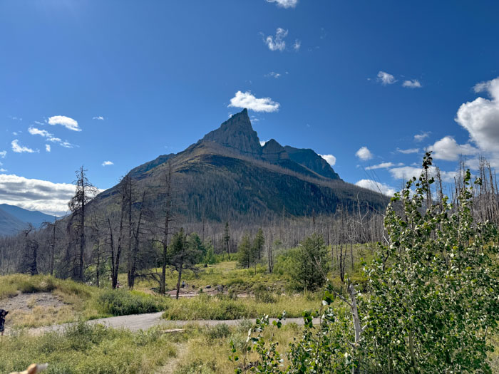
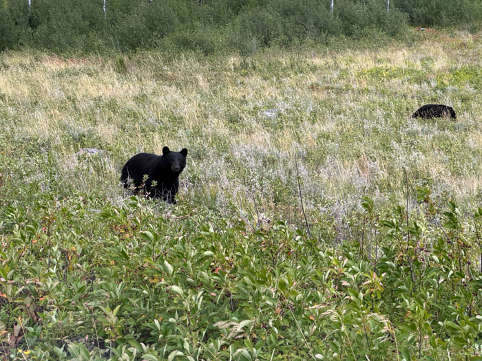
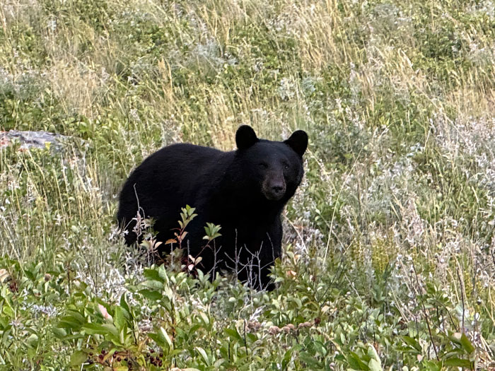
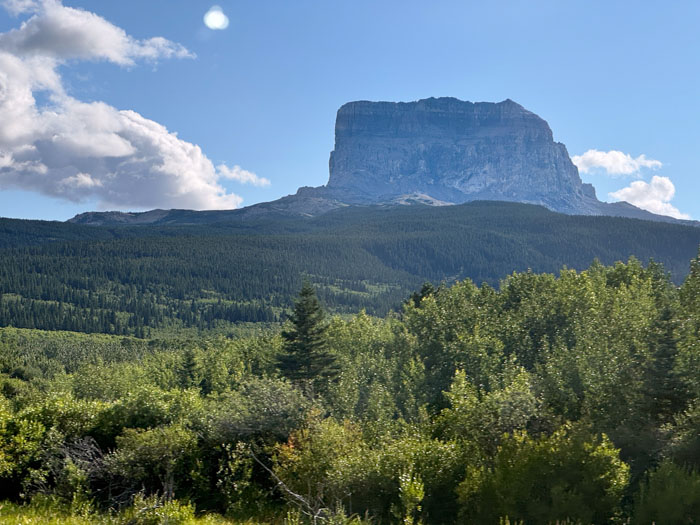
We crossed the border into the US at the Chief Mountain station. We were required to get off the bus and go into the station with our passports for face scanning. As we drove down into Montana, Allen showed us some diagrams about the overthrusting faults that formed the local mountains, dominated by the impressive Chief Mountain. Our hotel for the night is St. Mary Village, a lodge and a collection of stores on the side of St. Mary Lake and the famous Going to the Sun Road. The rooms are simple but comfortable. Dinner in the restaurant had gargantuan portions and we were unable to finish even half. Shame to be wasteful.
Monday, August 26 — Glacier National Park
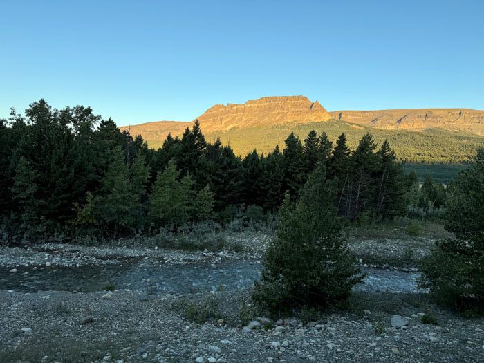
We awoke to another beautiful day and a view of Singleshot Mountain in the sun behind our hotel balcony. After a buffet breakfast we had our first foray into Glacier National Park. Glacier is the southern half of a trans-national park (the smaller Waterton is the northern) called the International Peace Park. There currently are very few glaciers here, but the names comes from the terrain shaped by glaciers.
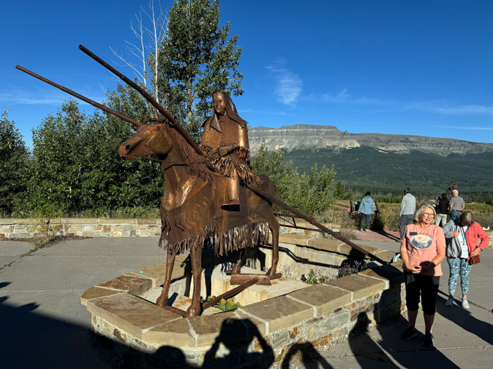
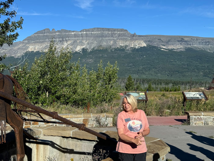
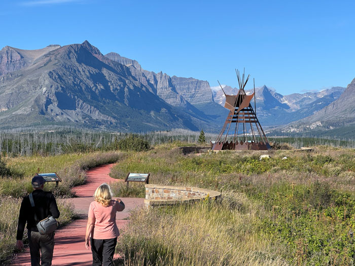
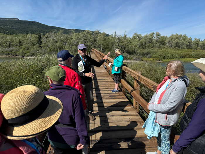
We drove to a Blackfoot Installation. The Blackfeet (Pikuni) tribe was one speaking the Algonquin language and their memorial installation was built by themselves, including all the metal work of a horse and rider and two teepees. Darcie told us the history of the nomadic tribe that dealt successfully with all sorts of environmental and tribe-conflict challenges, but became demoralized by Gatling guns and diseases. She showed us a map of their greatly diminished reservation area compared to their historical one. The area before us had been devastated by the 2006 Red Eagle Fire, but nature seems to be coming back nicely. She told us of the Blackfeet’s sacred interest in beavers (my favorite rodent) and the friction caused by that belief with the trappers of the Hudson’s Bay Company. Then Allen explained how thrust faults created Singleshot Mountain with younger rock layers submerged beneath older ones (1.4 billion years old).
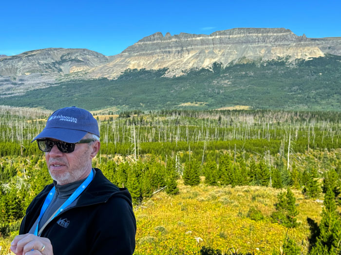
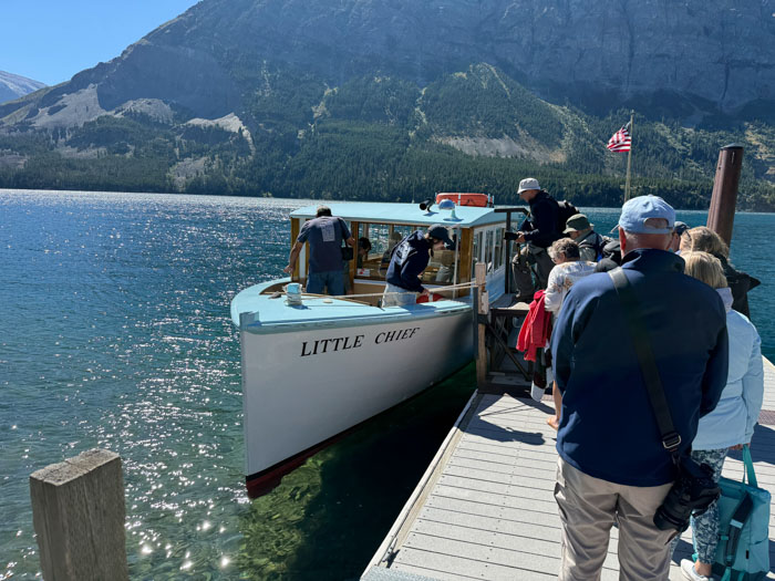
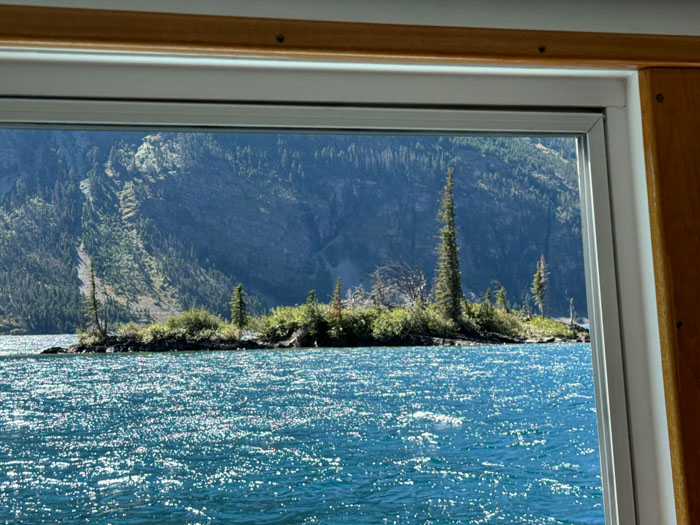
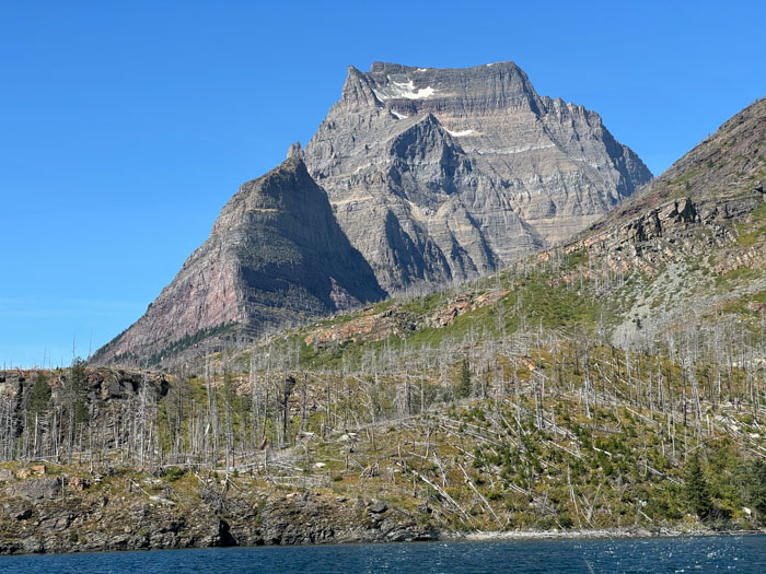
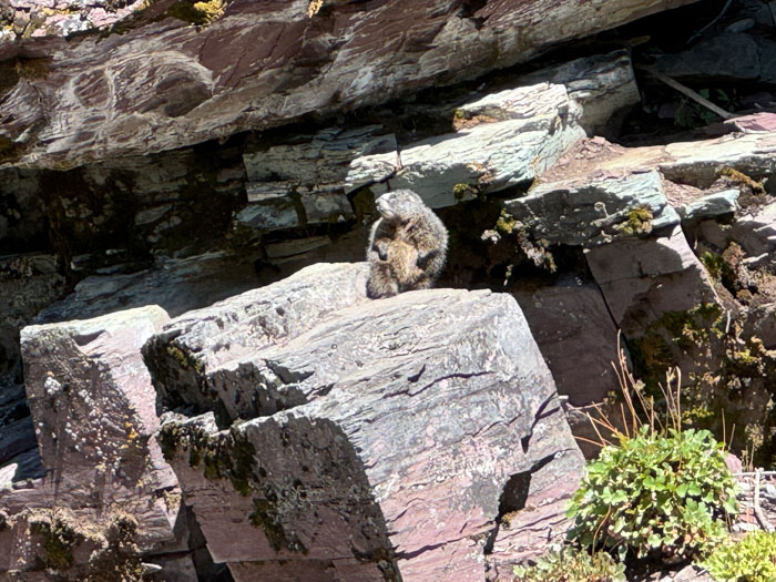
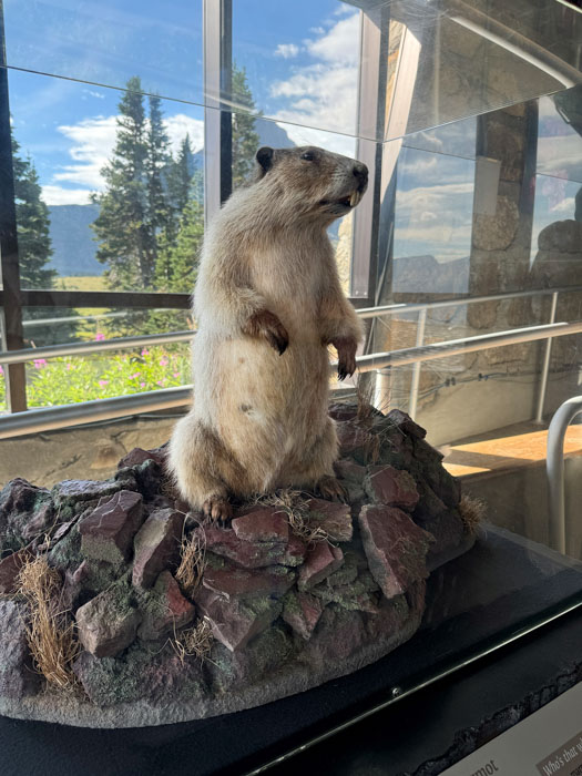
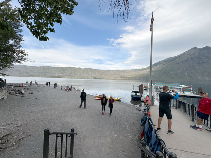
We bused to St. Mary Lake, which is a lovely turquoise blue from glacial “flour” (sediment). We boarded a small boat named Little Chief, built in 1926, and headed south for a leisurely 90 minute cruise. We saw the effects of the Reynolds Creek fire in 2015, mostly on the west side of the valley. We passed by tiny Wild Goose Island, Going to the Sun Mountain, Gunsights Mountain, Fusillade Mountain (a dramatically sharp horn) and Mount Reynolds. We stopped for a short hike to modest Bering Falls, which was highlighted for me when I spotted a hoary marmot (my third favorite rodent, although I prefer the yellow-bellied variety). After we returned we had planned a picnic lunch, but the area we had counted on was closed because of a bear, so we ate on the bus.
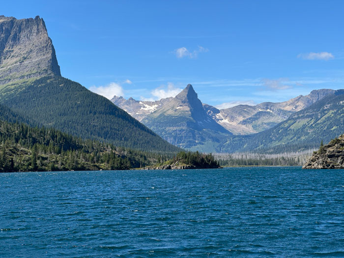
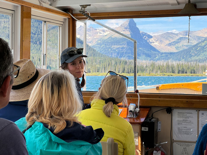
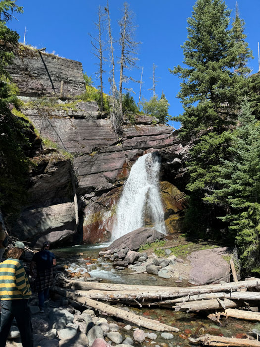
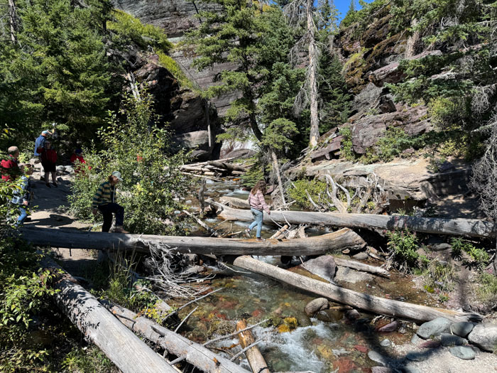
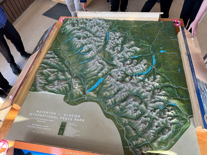
We visited the park Interpretative Center, which had a really excellent 3D terrain map and Darcie gave us an expert orientation and a preview of our trip tomorrow. Also a 15 minute overview video in the theater. We capped off the day by taking a 4.6 billion-year walk. Allen had us pace off the history of Earth in 460 paces of 10 million miles each, about a quarter mile. We stopped for milestones: solar system formation; creation of the moon; first crystal; oldest rock; first life; photosynthesis; the great oxidation event; first cells with nuclei (eukaryotes); animals (sponges); snowball Earth; ediacaran fauna; Cambrian explosion; trees; reptiles; biggest mass extinction; dinosaurs; mammals; dinosaur asteroid extinction; primates; hominids; and then, in the final millimeter, all recorded human history! Very educational.
We met in the bar for a free drink from Darcie, then dinner again in the hotel restaurant. Having just a salad and half an appetizer made the dining more manageable.
Tuesday, August 27 — Going to the Sun Road and Whitefish, MT
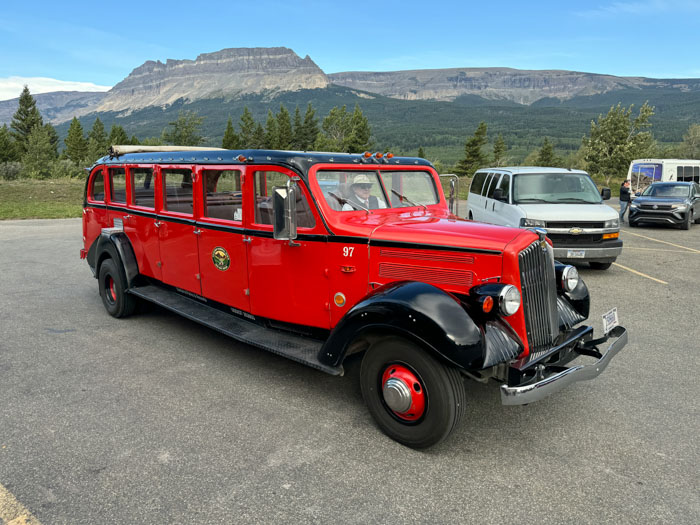
We checked out of the St. Mary Lodge and right in their parking lot we boarded two of the famous red buses for a three hour drive up the Going to the Sun Road. Our buses were built in 1937 and refurbished in 1999 with a Ford E450 chassis. They were open top, so it got windy and a bit chilly, but they provided heavy wool blankets. We passed over a bridge that appeared in Forrest Gump and were encouraged to yell “Run, Forrest, Run.” We stopped at an overlook for a view of Wild Goose Island, which we sailed past yesterday. The island also appeared in a movie, The Shining.
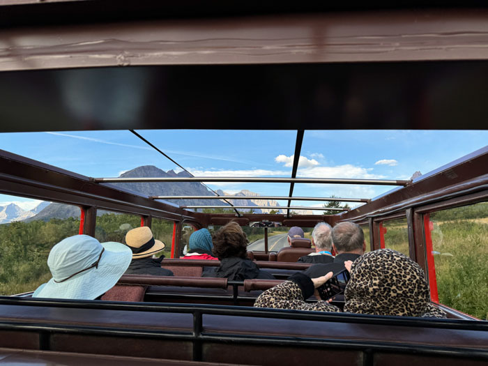
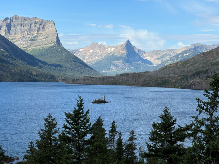
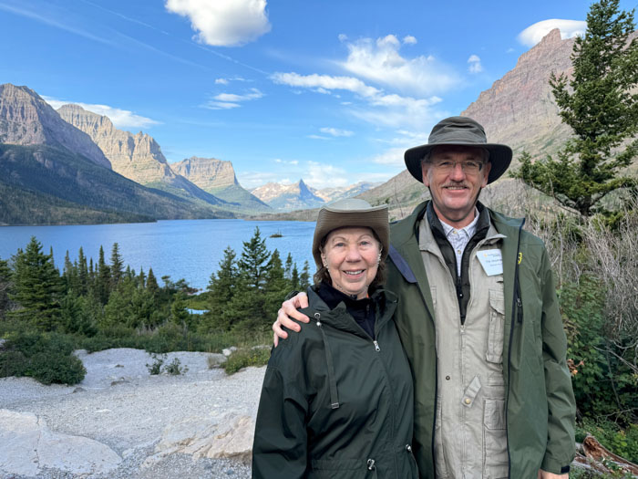
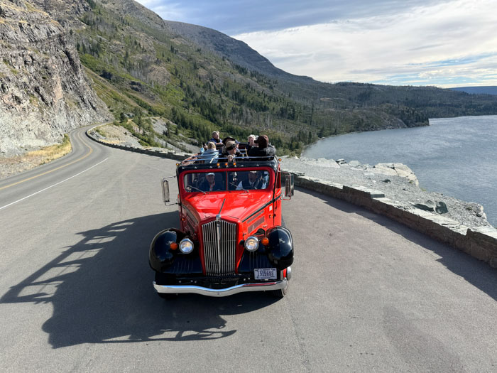
We made a number of “prairie dog stops” on the trip in which we hoisted ourselves up to a standing position through the open roof for photos. We got views of Jackson glacier and Blackfoot glacier. At 6646 feet, we stopped at Logan Pass, a point on the Continental Divide, and had a rest stop at the visitor center. Then it was a long downhill on the road carved into the side of Garden Wall, the best views of a spectacular drive. We got nice views of Upper McDonald Creek and Haystack Creek. Allen and much of the bus seemed obsessed with finding Stromatolites on the rocky wall and met with success. Further down we stopped at Red Rock Point and Sacred Dancing Falls.
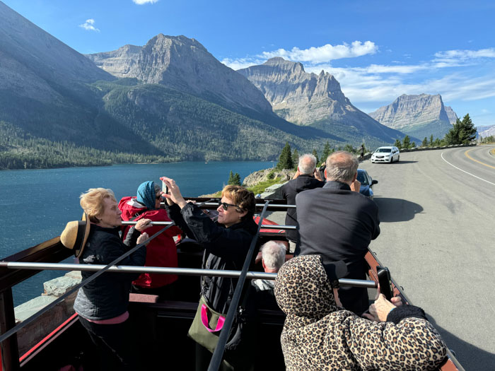

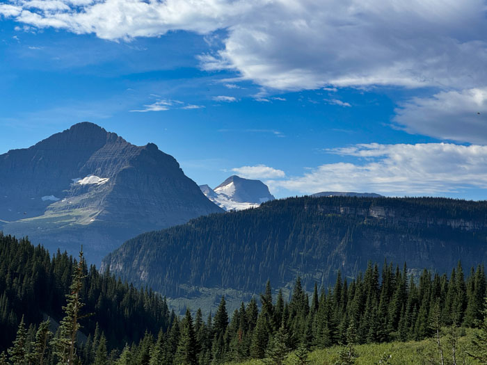
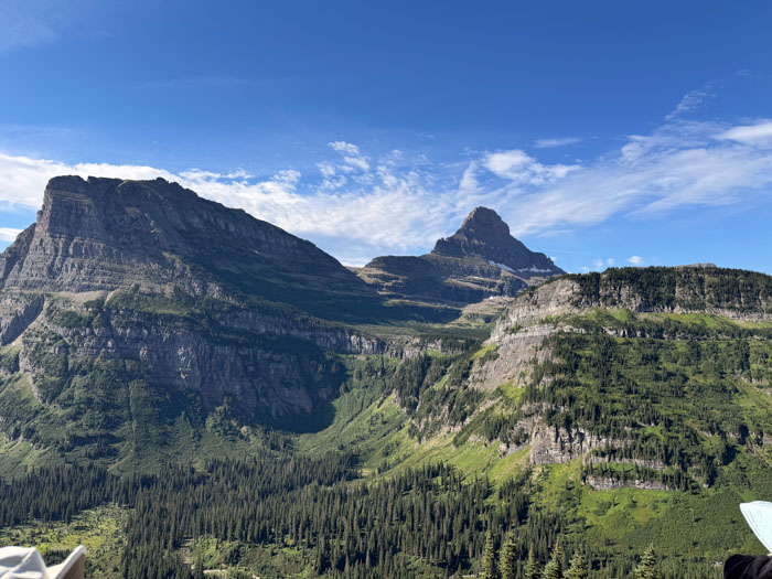
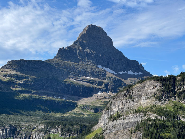
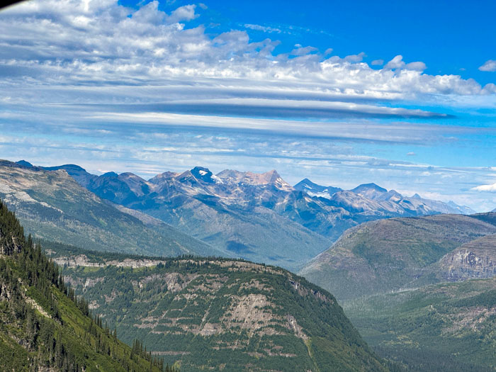
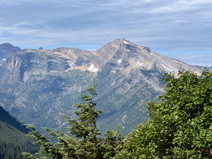
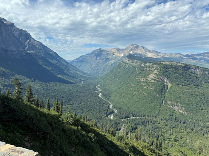

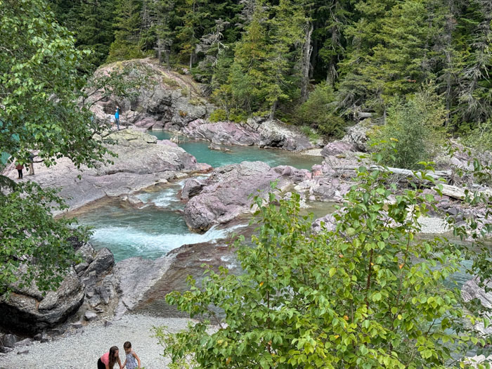
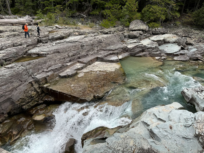
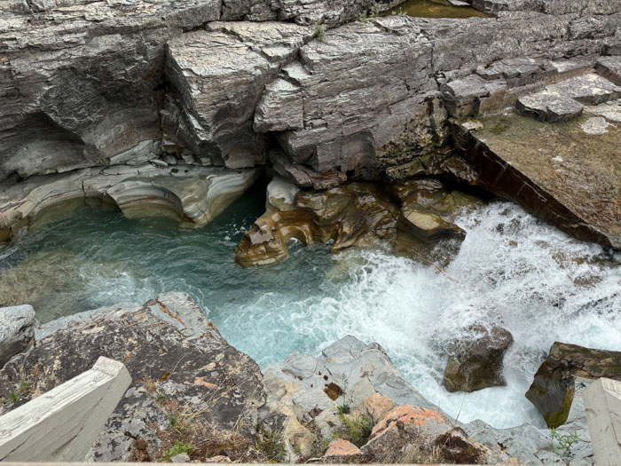

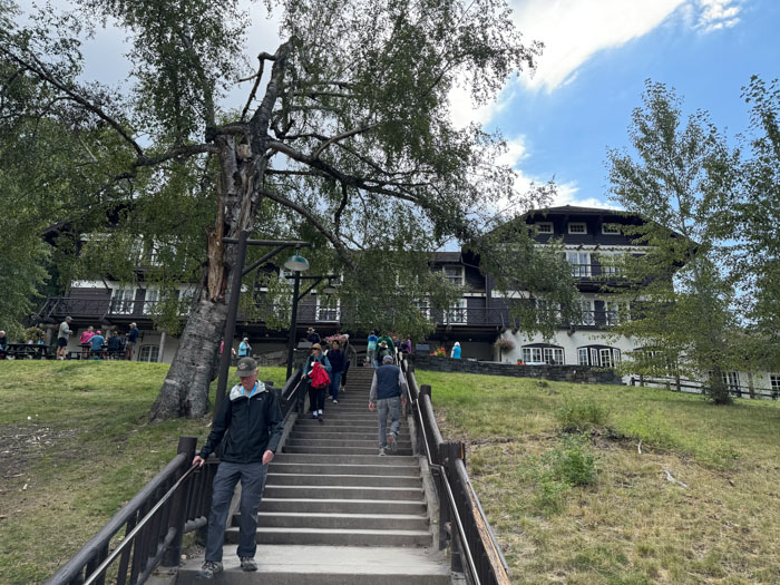
Our red bus trip ended at McDonald Lodge, a faux Swiss chalet that was built in the early 20th century before any roads were available to access it; guests arrived by steamboat on McDonald Lake. At the other end of this glacial lake, the biggest in the park, we stopped at the village of Apgar for lunch on our own and then took a short hike to visit the placid McDonald Creek. As we drove west we could see significant terrain differences from the eastern side of the mountains—lots more trees of more varieties and no fire damage. And lots more commercial development along the highways. This was the first opportunity since St. Mary to get a cellular signal. We passed a large store selling exclusively huckleberry products; we have been inundated with huckleberry stuff all week here in Montana. (Darcie passed around some fresh huckleberries earlier and they didn’t taste very interesting.)
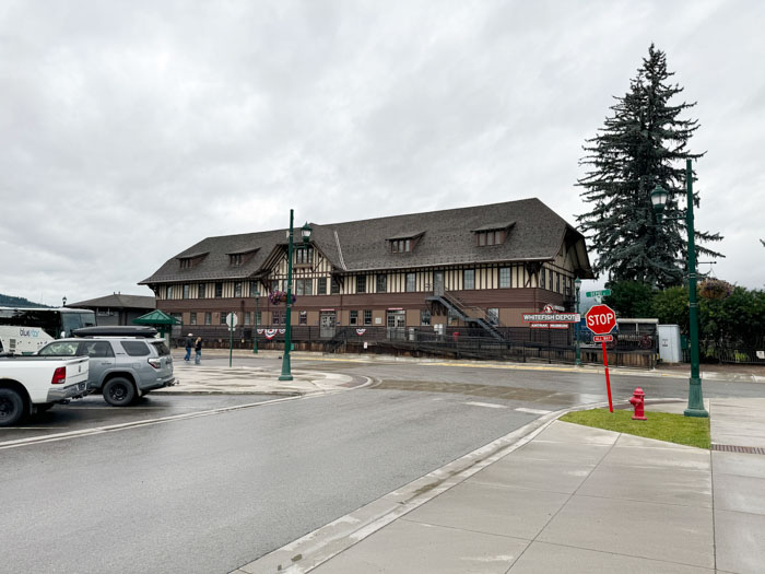
We stopped in Whitefish and Darcie led us on a brief familiarization walking tour of the small downtown area. It’s a modern, pleasant small town/city, but it was not photographically notable. Lots of potential lunch and dinner opportunities for tomorrow. We checked into the Grouse Mountain Lodge, which is comfortable. Dinner was hosted at the hotel restaurant, which was pretty good.
Wednesday, August 28 — Whitefish, MT
Allen gave his second lecture, “Glaciers and Climate Change.” He discussed changes over three periods: human scale of 10K years; 100K year cycles; tens of millions of years. He had a interesting series of slides on great sea level changes and the breakup of the Pangea super continent. About 3M years ago, the opening between North and South America closed to reveal the Isthmus of Panama, which had significant effects on global weather. A graph showed that we are currently in a historically cold period, matched only once in 600M years. He gave a detailed account of Milankovitch cycles and how that theory closely matches historic climate data. And he showed how the “Little Ice Age” of the last few centuries formed many of the glaciers that are now receding. An interesting talk, quite technical in some parts, without the hyperbole that one usually sees.
Although we have had excellent weather so far (sunny, 50–60s), today our streak ended and it’s rainy. So our first activity of the day has been disrupted: a gondola or ski lift ascension of nearby Big Mountain. Some of our group elected to continue up into the heavy clouds (and a few inches of snow!), but Nancy and I decided to chill out at the hotel until lunch. We took the hotel shuttle bus about a mile to downtown and ate lunch on our own at Jersey Boys Pizzeria—extremely casual, pretty good thin-crust pizza. We looked around the small railroad depot museum, which is heavy on photographs on the history of the Great Northern Railway. But the rain was starting to get heavier, so we shuttled back to the hotel.
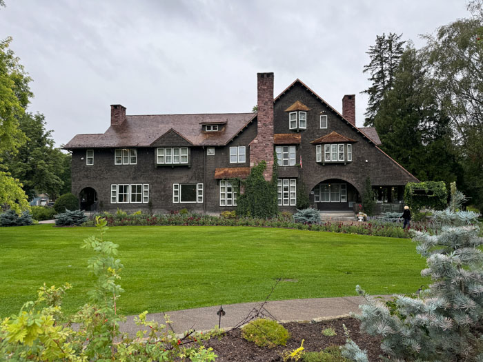
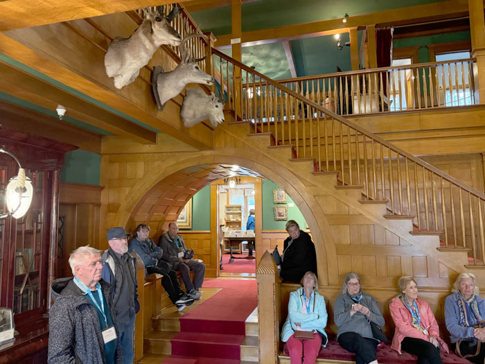
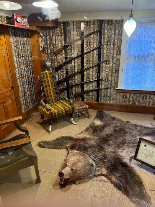
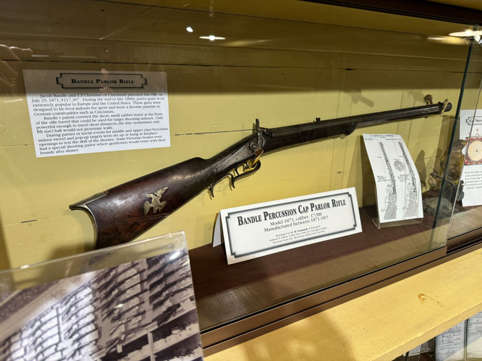
At 2 p.m. we boarded our bus again and drove 45 minutes south to Kalispell, home of the Charles Conrad mansion. It is a Norman style house designed by the same guy who did the McDonald Lake Lodge. Conrad was a 19th century millionaire shipping magnate who founded Kalispell. As a young teenager, Conrad was one of Mosby’s Raiders in the Civil War. Built in 1895, the house has 26 rooms in 13,000 square feet. I didn’t take a lot of photos, but I found the “Musicians’ arch” under the grand staircase to be interesting. There is a rifle collection up in the attic that has an unusual one called a Parlor Gun, which has an attachment for the barrel to lower the caliber down to BB size so that it can be used inside without piercing walls. Dinner was on our own tonight and since the rain has been on/off, we returned to the hotel restaurant.
Thursday, August 28 — Emerald Lake, Alberta
We had an early start today for a 350-mile ride north into Canada. Darcie informed us that the Going to the Sun Road at Glacier NP was closed last night because of snow, so we lucked out two days ago. The weather today was chilly and overcast after early morning fog. Our drive is up the Rocky Mountain Trench, a 1000-mile depression that splits the northern Rockies, for reasons geologists don’t fully understand. Just before the Canadian, British Columbia border we rest-stopped at the First and Last Chance Saloon and Duty Free Store in Eureka, where I got to sample an unusual huckleberry liqueur. In BC Darcie explained that Canadians considered the mountains to the west of our trench to be the Columbia Range, whereas Americans think of both sides as the Rockies.
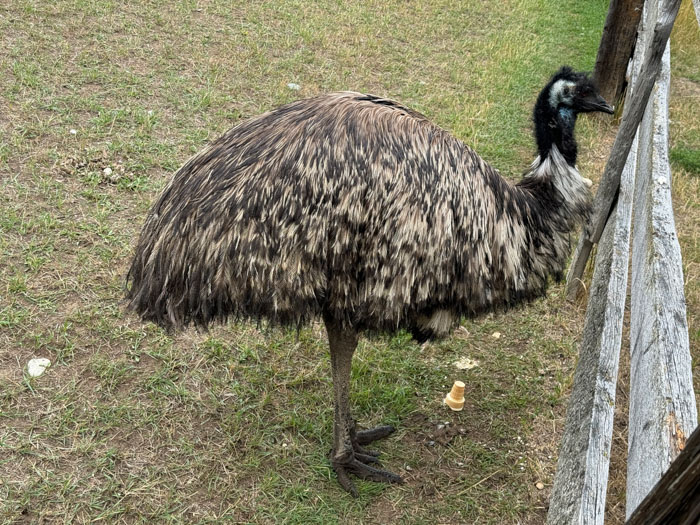
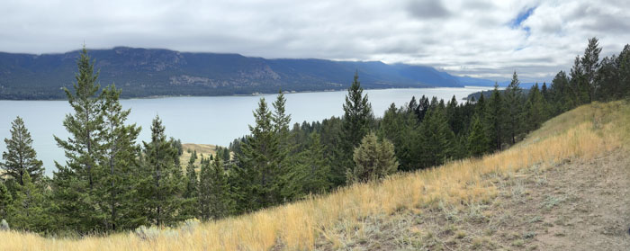
We stopped at Fort Steele for a small convenience store where we were treated to ice cream. And we hiked a little way to feed ice cream cones and cereal to a small flock of emus (not the species I was expecting here in the Rockies). Then after a long while we stopped at a rest area with a good view of Columbia Lake. The Columbia River was dammed south of here at Canal Flats by an ancient landslide, creating the lake, and the river then reversed direction, heading many miles north before finding a place to break through and then heading south toward Washington State. We saw some interesting hoodoos nearby but I couldn’t get a photo from the moving bus. We lunched in a restaurant called Huckleberry’s in Invermere at the head of an eponymous finger lake.
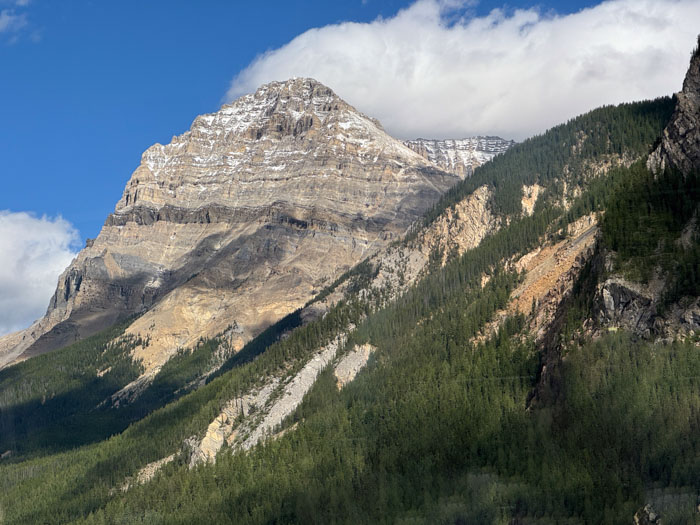
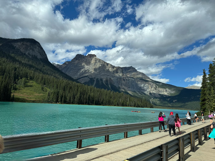
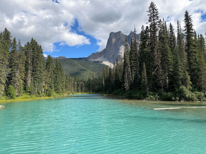
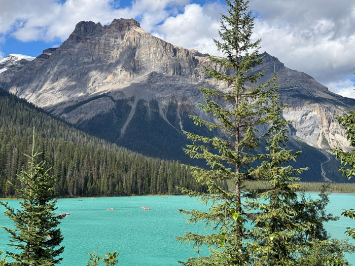
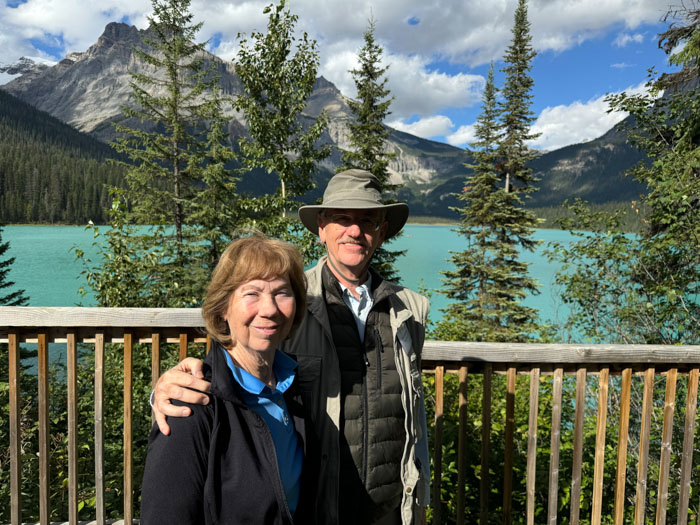
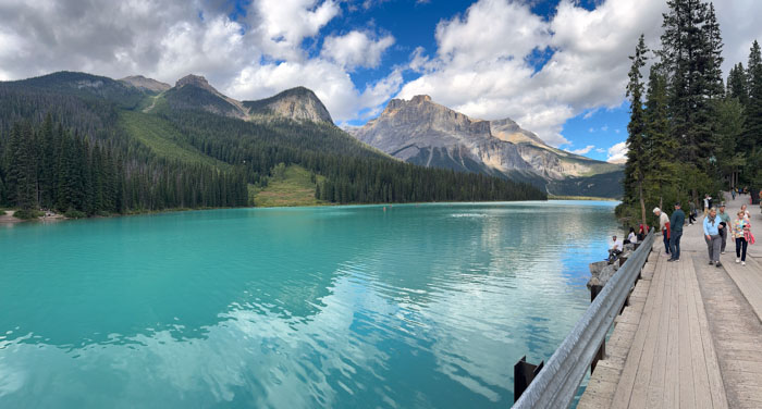
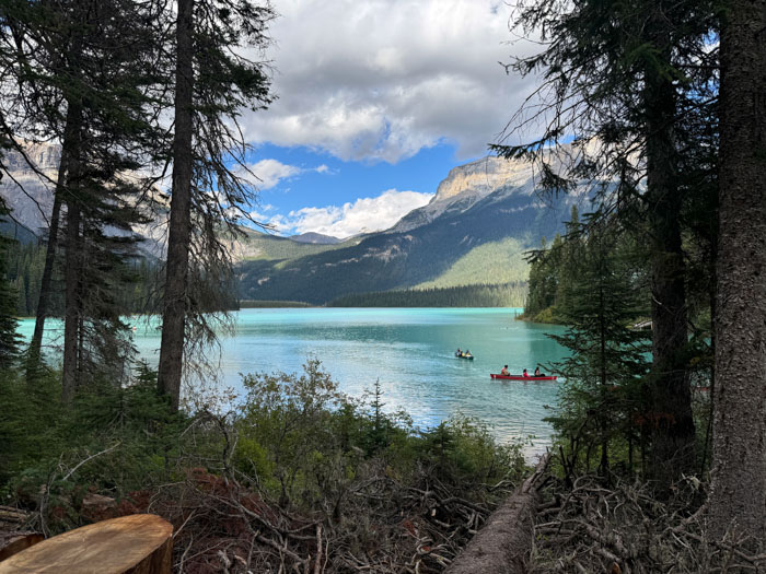
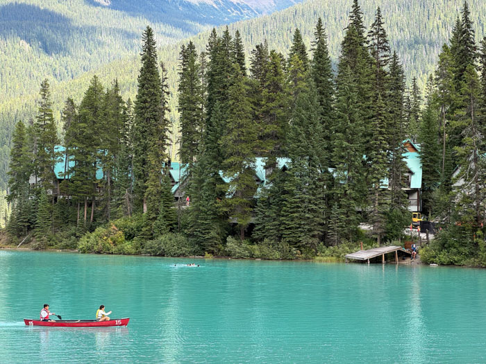
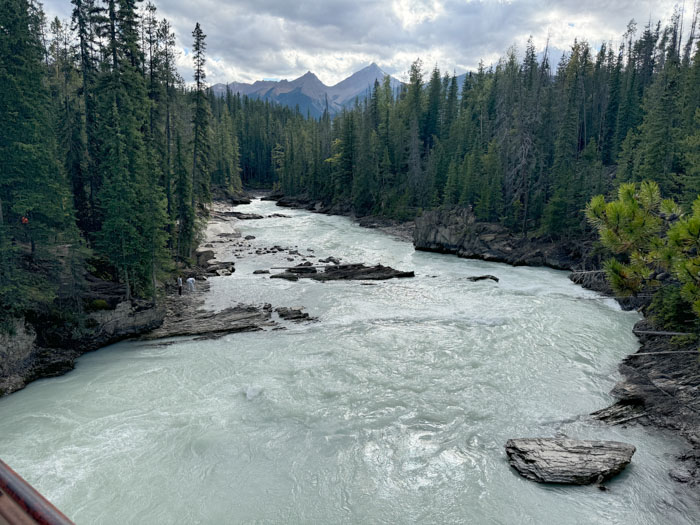
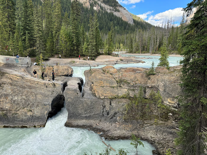
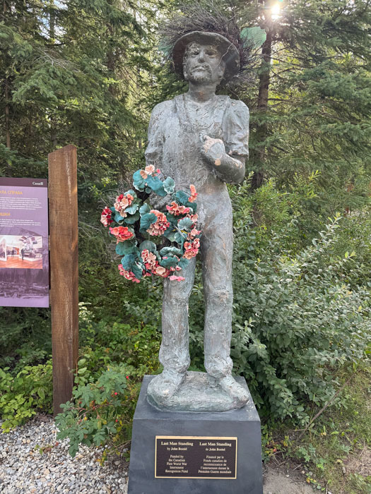
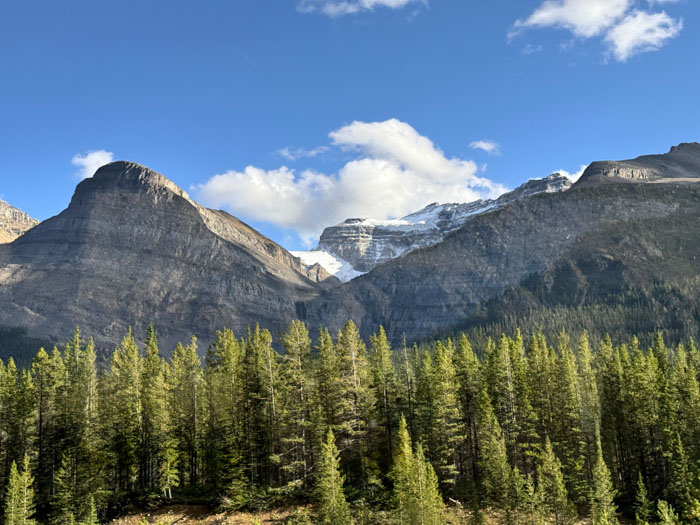
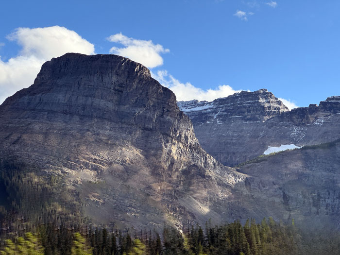
After lunch the skies cleared and we had beautiful views of the Rockies peeking up behind foothills on our right, the Columbia Range on the left. We stopped for a rest in Golden and then headed east on the Trans-Canada Highway through Kicking Horse Pass, a very dramatic drive. We stopped for a walk around Emerald Lake. Because it is fed by glacial flour, it is a stunning green color. Perhaps the most beautiful lake I have ever seen, surrounded tightly by super high mountains. There is a glacier peeking out in one spot. On one of the mountains, Mt. Walcott, a Smithsonian expedition found Cambrian soft-bodied fossils in the Burgess Shale, hundreds of meters up. This is considered the most important Cambrian fossil site in the world. Also at the lake is a chi-chi lodge with roofs matching the water color. (Rooms there this September are CA$600–1250.) It’s possible to walk fully around the lake, but we didn’t have time for the entire 3-mile trek. On the way out, we stopped for photos at the Natural Bridge partially blocking the Kicking Horse (Le Cheval Qui Rue) River. There is also a small exhibit about enemy aliens interred by the government during WWI, something now considered a shameful overreach.
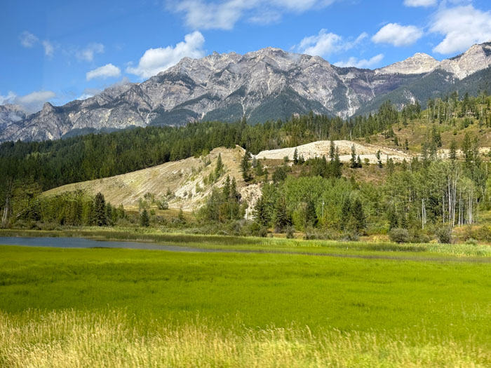
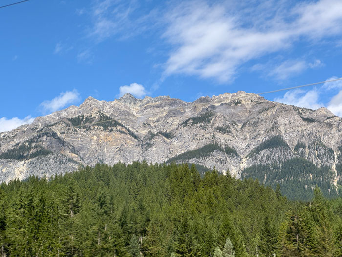
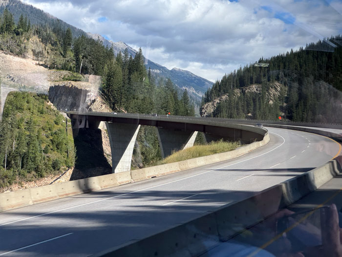
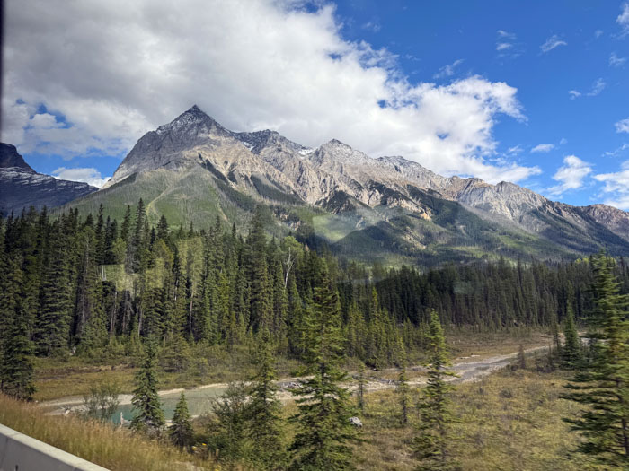
It was a short drive to the Lake Louise Inn in the village of Lake Louise, from Yoho National Park in British Columbia to Banff National Park in Alberta. The inn was a bit dated but comfortable, although in the summer I might change my opinion because there is no air conditioning. Dinner in the hotel restaurant was good. The inn is quite crowded.
Friday, August 30 — Lake Louise, Alberta
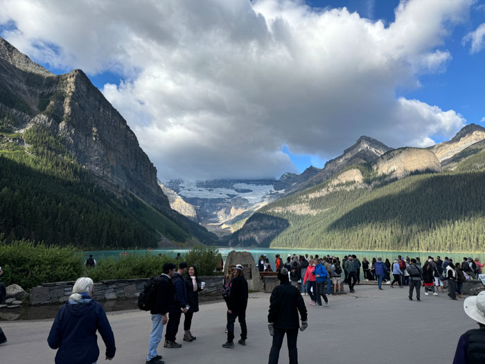
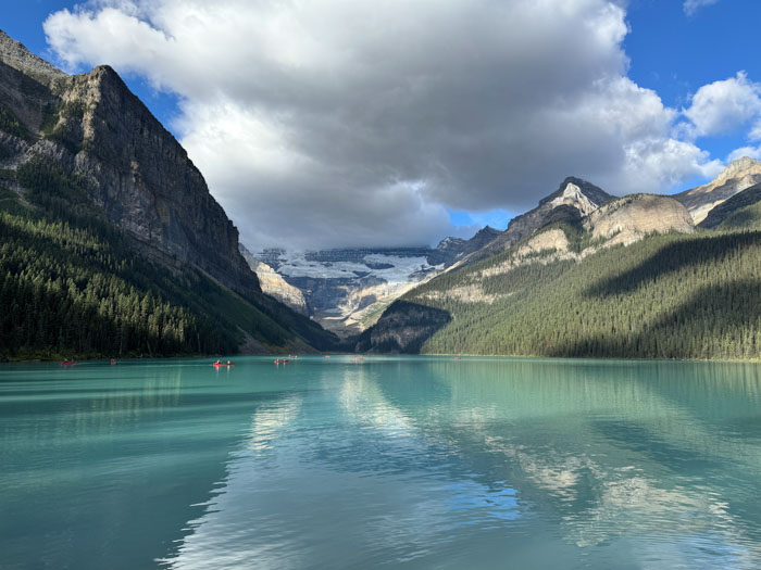
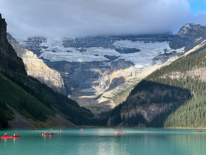
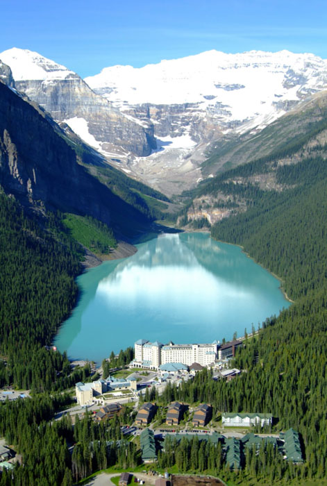
Our breakfast buffet was notable because it included a chocolate fountain with mini donuts! It was a very short ride to Lake Louise and we found the parking lot packed with dozens of buses even at 9 a.m. The walkways around the lake are crowded, reminiscent of EPCOT. The lake is turquoise blue like Emerald Lake, not as brilliant, but this could be because the former was viewed yesterday in bright sunshine and this morning was partly cloudy. At the other end of the lake is Victoria glacier, which looks receded but is actually covered in dirt. The Fairmont Château Lake Louise is imposing on the edge of the lake, but is marred a bit by a big construction project. We would have liked to go inside the lobby for a peek, but they restricted non-guest access pretty aggressively. The group started on a brisk mile+ hike around part of the lake, but my Achilles tendon was acting up painfully after the lengthy walks yesterday, so I had to drop out part way.
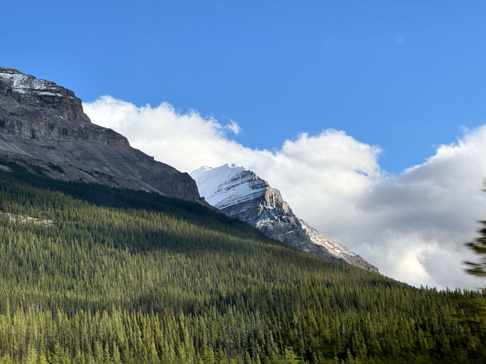
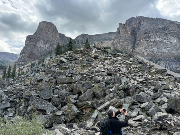
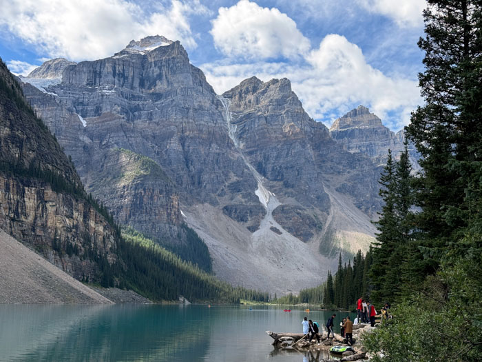
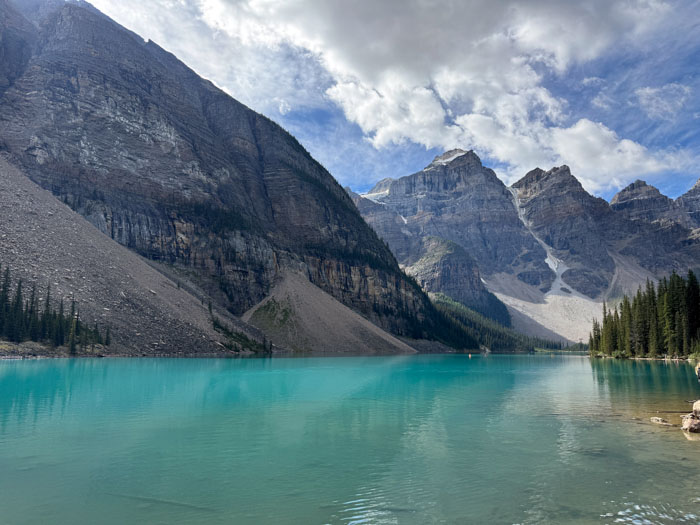
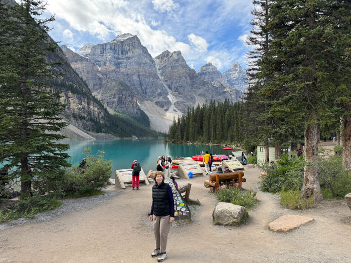
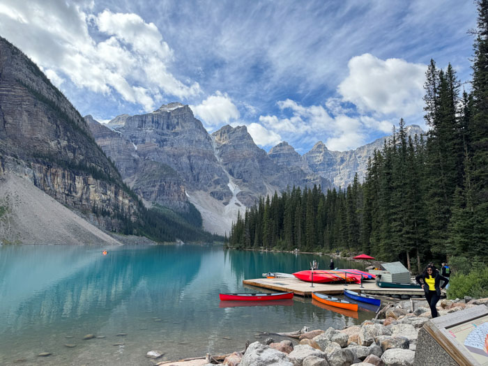
We drove on a long, windy road through the Valley of the Ten Peaks. We ascended at least 2000 feet and then down a little to arrive at Moraine Lake. It’s rather small, created when a huge rock avalanche dammed up a glacial stream. That giant pile of rocks is impressive and there are steps to its top, but I demurred. The lake is surrounded by impressive peaks of up to 1 km in height, the tallest rock wall in Canada. On the bus ride back down, Darcie told us the history of the Canadian Pacific Railway, which was essentially responsible for finding all of the national parks we’ve visited. We had a picnic lunch in the Lake Louise village shopping center, which has a nice set of woodsy trails and picnic tables.
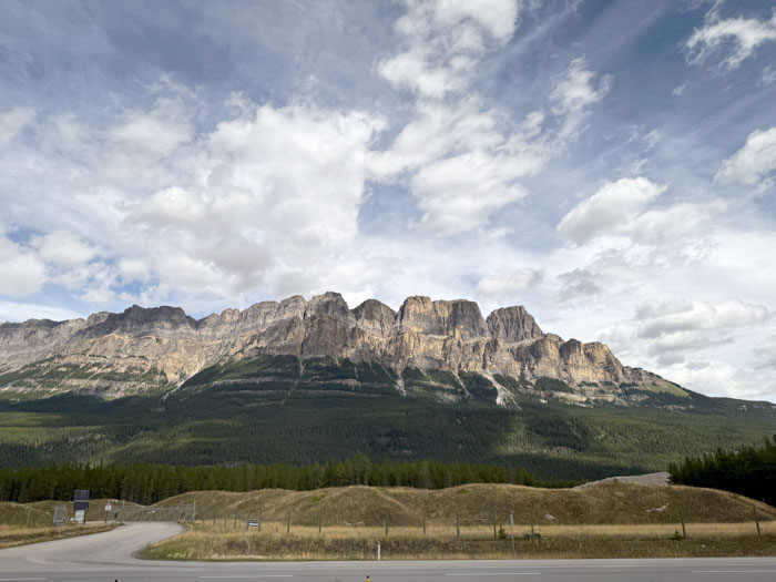
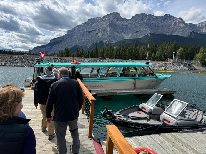
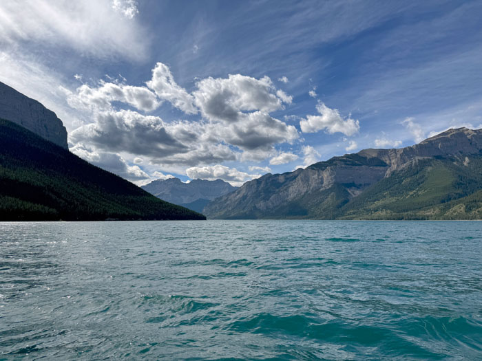
We drove down the Bow Valley Corridor, one of three passes through the mountains down to the prairie. Along the way we admired the dramatic Castle Mountain. We passed the city of Banff and arrived at Lake Minnewanka. Here we took a tour on a small boat similar to the one on St. Mary Lake. Minnewanka is the deepest lake in Banff park and we motored out 7 miles and then back. Our guide pointed vegetation and some mountains, but the scenery was rather tame in comparison to the previous three lakes we visited. She told us the story of the apocryphal lake monster that was the subject of Indian legend, and was a money making scheme/scam for a local tour operator. She also told an interesting history of the three dams erected here. The third, a rock dam built by teenagers in WWII, raised the water level over 100 feet and submerged the small town of Minnewanka Landing; the residents were so pissed off by this impending destruction that they burned the town to the ground rather than allow it to be used for construction crew housing.
The town of Banff was a short drive away. We passed by the famous Fairmont Banff Springs Hotel and up Sulphur Mountain to our hotel, the Rimrock. Very fancy. Dinner was in the hotel restaurant and we had the unusual arrangement of the hotel assigning us dining times and table seatings in separate small groups.
